About
Geographic Information System Training
Enter the growing GIS sector by developing your skills in spatial data analysis, making maps and apps, apply advanced analysis tools. While learning about simple spatial data processing or timely developments such as Programming in Python, at each stage you can obtain realistic guidance.
Training in Geographic Information Science (GISc) at Geoinfotech offers in-depth study of geotechnological capabilities, including mapping, geographic information systems, and global positioning systems. To our understanding of geography, cartography and how they relate to human activity, digital solutions and data analysis are becoming increasingly important. Such frameworks can be used to gain insight into the patterns and trends shaping our relationship with our climate.

Registration - Current Student
If you have enrolled for the training program, and section is ongoing, please click the Registration button
Login - Current Student
If you have enrolled and Registered for the training program, and section is ongoing, please click the login button
100% Hands on Practicals
Our dedicated training suite is designed for variety of public courses to ensure effective, hands-on training
Great training helps you navigate the complexities inherent in spatial data
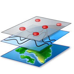
Geographic Information System (GIS)
Get started applying advanced analysis tools, or automate your GIS workflows
Python
Learn how to apply knowledge of Python in GIS

AutoCAD
Learn Basic to Advanced Techniques in AutoCAD
Remote Sensing
Apply latest technology in remote sensing making maps and apps, from satellite data

Drone Pilot and Mapping
Learn how to fly drones, process, analyse and create maps of all kind.

Web Mapping
Learn how to apply web programming in GIS Application
As an individual interested in investing in your own career, or an organization protecting your investment in spatial data, Geoinfotech helps to make your dream a reality. Our dedicated training suite is designed for a variety of public courses to ensure effective, hands-on training. We can tailor courses specifically to your needs using your custom components, proprietary data, and in-house environments.
- We provide training courses at all levels for the following:
- GIS And Remote Sensing (making maps, Image processing and Geo-Apps)
- Drone Mapping (operation, management and application)
- Web Design and Development
Contact us today to discuss how Geoinfotech could tailor training to your requirements
New Discount Training Offer!!
The new advance practical and Field Training offers free software’s and GIS data
Join Our Newsletter
Be the first to know whats happening, get free updates on our training and amazing offers