Nigeria continues to face a range of security concerns, including banditry, kidnapping, illegal mining, border incursions, and communal conflicts. As technology advances, geospatial solutions are emerging as powerful tools for enhancing security operations and informed decision-making.
Join us for an engaging and insightful X Space discussion as we examine how GIS, Remote Sensing, Drone Technology, Spatial Analysis, and Real-Time Mapping are being leveraged to improve surveillance, risk assessment, situational awareness, intelligence gathering, and security management both in Nigeria and around the world.
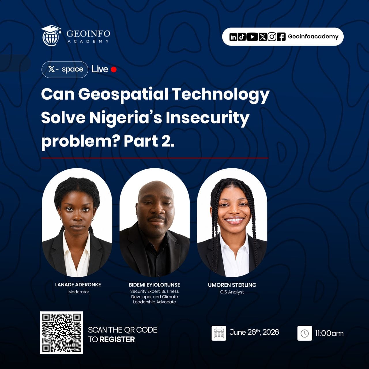
📅 Date: June 26, 2026
🕚 Time: 11:00 AM