Search for the training you need
At Geoinfotech, we’re committed to supporting your training in geoinformatics and related technologies.
Whether you’re brand-new to ArcGIS, Drone, Surveying and Mapping or a seasoned GIS professional who wants to master the latest technology, we have resources to help you achieve your goals

Physical Training
At Geoinfotech we offer extensive hands-on practical training and field experience for individuals, group or for organizations. Register to explore our courses on Drone, GIS, Remote Sensing, GPS, Python development, advanced analysis tools, and many more.

Online Traning
Explore Geoinfotech's online training platform, at home or anywhere you are on Drone, GIS, Remote Sensing, GPS, Python development, advanced analysis tools, and many more. We have developed our online platform to be responsive for easy navigation and professionally recorded for better understanding.
No Results Found
The page you requested could not be found. Try refining your search, or use the navigation above to locate the post.
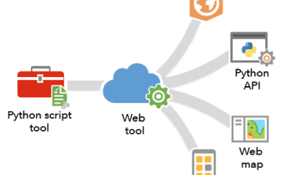
How to Use Python and ArcPy for Automating GIS Workflows in ArcGIS Pro
To automate GIS workflows in ArcGIS Pro using Python and ArcPy, you can write Python scripts that...
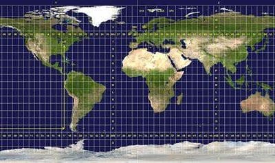
Choosing the Right Coordinate System for Your GIS Project
When embarking on a Geographic Information System (GIS) project, one of the foundational decisions...

Cleaning Geospatial Data: Tips to Avoid Common Pitfalls
Geospatial data is the lifeblood of any GIS project, powering everything from urban planning to...
SERVICE LIST
We take your industry to the next level. Support Service Geoinfotech

Drone (Survey, Inspection, Surveillance, and Mapping)

Geographic Information System

Land Surveying

Remote Sensing and Satellite Mapping

Hydrographic Survey (Bathymetry)

Geophysical Survey

Training (Beginners to Advance / Professional)

GeoStore (Buy Products) Hardware / Software