Search for the training you need
At Geoinfotech, we’re committed to supporting your training in geoinformatics and related technologies.
Whether you’re brand-new to ArcGIS, Drone, Surveying and Mapping or a seasoned GIS professional who wants to master the latest technology, we have resources to help you achieve your goals

Physical Training
At Geoinfotech we offer extensive hands-on practical training and field experience for individuals, group or for organizations. Register to explore our courses on Drone, GIS, Remote Sensing, GPS, Python development, advanced analysis tools, and many more.

Online Traning
Explore Geoinfotech's online training platform, at home or anywhere you are on Drone, GIS, Remote Sensing, GPS, Python development, advanced analysis tools, and many more. We have developed our online platform to be responsive for easy navigation and professionally recorded for better understanding.
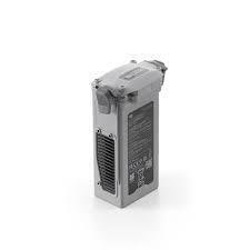
Where to Buy DJI Matrice 4D Series Battery in Lagos Nigeria | Genuine DJI Enterprise Battery
Where to Buy the DJI Matrice 4D Series Battery in Lagos, Nigeria Looking for where to buy the DJI...

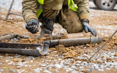
Geoinfotech Drone Pipeline Monitoring in Nigeria: How UAV Inspection Is Replacing Manual Patrol
Geoinfotech Drone Pipeline Monitoring in Nigeria: How UAV Inspection Is Replacing Manual Patrol...
Geophysical Exploration Services In Nigeria | Geoinfotech
Geophysical Exploration Services In Nigeria Nigeria is one of Africa’s most geologically diverse...
Geophysical Exploration Services In Nigeria | Geoinfotech
Geophysical Exploration Services In Nigeria Nigeria is one of Africa’s most geologically diverse...
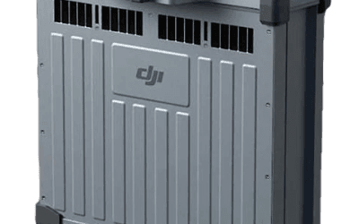
DB1560 Battery Nigeria: Why It Keeps Your T50 Flying A Practical Guide to the DJI Agras DB1560 Intelligent Flight Battery for Nigerian Operators
Picture the scene: an operator lands his DJI Agras T50 after the first tank run of the morning....
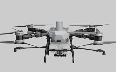
DJI Agras T100 Nigeria: Is It Right for Your Farm? A Practical Guide for Nigerian Farmers
Picture the scene: it is 6:30 in the morning on a rice farm in Kebbi State. The sun barely clears...
SERVICE LIST
We take your industry to the next level. Support Service Geoinfotech

Drone (Survey, Inspection, Surveillance, and Mapping)

Geographic Information System

Land Surveying

Remote Sensing and Satellite Mapping

Hydrographic Survey (Bathymetry)

Geophysical Survey

Training (Beginners to Advance / Professional)

GeoStore (Buy Products) Hardware / Software