Search for the training you need
At Geoinfotech, we’re committed to supporting your training in geoinformatics and related technologies.
Whether you’re brand-new to ArcGIS, Drone, Surveying and Mapping or a seasoned GIS professional who wants to master the latest technology, we have resources to help you achieve your goals

Physical Training
At Geoinfotech we offer extensive hands-on practical training and field experience for individuals, group or for organizations. Register to explore our courses on Drone, GIS, Remote Sensing, GPS, Python development, advanced analysis tools, and many more.

Online Traning
Explore Geoinfotech's online training platform, at home or anywhere you are on Drone, GIS, Remote Sensing, GPS, Python development, advanced analysis tools, and many more. We have developed our online platform to be responsive for easy navigation and professionally recorded for better understanding.

NIGERIA EMPOWER TAX SYSTEM WITH GIS
Nigeria’s Federal Inland Revenue Service (FIRS) collaborated with the Abuja Geographic...

Lagos state uses drone to mointor waterways.
Lagos drones waterways Lagos State the centre for excellence has recently revealed that it has...

Drone Service provider and Training in Nigeria
Drone Training in Nigeria At Geoinfotech, we offer drone services and drone training in Nigeria...
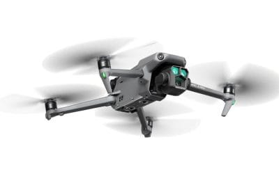
DJI Mavic 3 Pro + RC Fly More Combo Price in Nigeria: The Ultimate Tri-Camera Flagship for Professionals
The DJI Mavic 3 Pro + RC Fly More Combo redefines aerial imaging in Nigeria, delivering an...
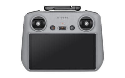
DJI Air 3S RC2 Fly More Combo Price in Nigeria: Elevating Aerial Photography with Enhanced Low-Light Power
The DJI Air 3S RC2 Fly More Combo sets a new benchmark for prosumer drones in Nigeria, combining a...
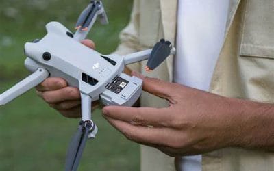
DJI Mini 4 Pro Fly More Combo Plus + RC2 Price in Nigeria: Master Every Moment
The DJI Mini 4 Pro Fly More Combo Plus with RC2 controller elevates the compact drone experience...
SERVICE LIST
We take your industry to the next level. Support Service Geoinfotech

Drone (Survey, Inspection, Surveillance, and Mapping)

Geographic Information System

Land Surveying

Remote Sensing and Satellite Mapping

Hydrographic Survey (Bathymetry)

Geophysical Survey

Training (Beginners to Advance / Professional)

GeoStore (Buy Products) Hardware / Software