Search for the training you need
At Geoinfotech, we’re committed to supporting your training in geoinformatics and related technologies.
Whether you’re brand-new to ArcGIS, Drone, Surveying and Mapping or a seasoned GIS professional who wants to master the latest technology, we have resources to help you achieve your goals

Physical Training
At Geoinfotech we offer extensive hands-on practical training and field experience for individuals, group or for organizations. Register to explore our courses on Drone, GIS, Remote Sensing, GPS, Python development, advanced analysis tools, and many more.

Online Traning
Explore Geoinfotech's online training platform, at home or anywhere you are on Drone, GIS, Remote Sensing, GPS, Python development, advanced analysis tools, and many more. We have developed our online platform to be responsive for easy navigation and professionally recorded for better understanding.

Drones to be used in Coastguard operation for the first time
Drone Coastguard A drone is designed to take real-time surveillance was used to carry out safety...
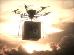
Drones are delivering COVID-19 tests to remote Scottish islands
Drones are delivering COVID-19 in Scotland As humans maintain social distancing, a drone can offer...

Plane narrowly misses colliding with drones at Heathrow airport.
Plane misses colliding with drones The latest news surfaced aimed concern that drone near-misses...
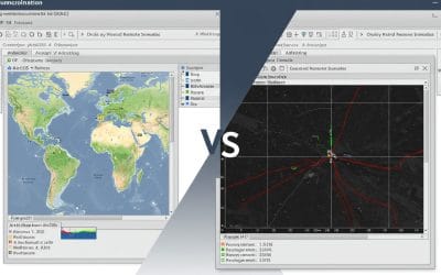
ArcGIS vs QGIS: Navigating the Best Tools for Your Remote Sensing and GIS Needs
Geographic Information Systems (GIS) and remote sensing are transforming how we analyze and...
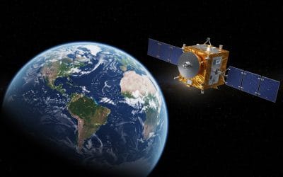
INTRODUCING NISAR: A NEW ERA IN EARTH OBSERVATION
What is NISAR? NISAR (NASA-ISRO Synthetic Aperture Radar) is a groundbreaking Earth-observing...
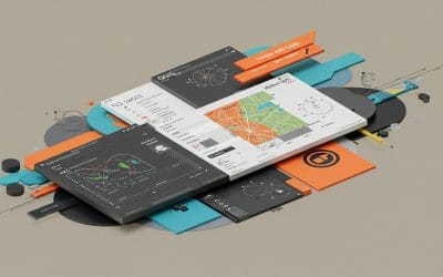
INTRODUCTION TO QGIS – Series 1
Geographic Information Systems (GIS) have become essential to how we understand places, people,...
SERVICE LIST
We take your industry to the next level. Support Service Geoinfotech

Drone (Survey, Inspection, Surveillance, and Mapping)

Geographic Information System

Land Surveying

Remote Sensing and Satellite Mapping

Hydrographic Survey (Bathymetry)

Geophysical Survey

Training (Beginners to Advance / Professional)

GeoStore (Buy Products) Hardware / Software