Search for the training you need
At Geoinfotech, we’re committed to supporting your training in geoinformatics and related technologies.
Whether you’re brand-new to ArcGIS, Drone, Surveying and Mapping or a seasoned GIS professional who wants to master the latest technology, we have resources to help you achieve your goals

Physical Training
At Geoinfotech we offer extensive hands-on practical training and field experience for individuals, group or for organizations. Register to explore our courses on Drone, GIS, Remote Sensing, GPS, Python development, advanced analysis tools, and many more.

Online Traning
Explore Geoinfotech's online training platform, at home or anywhere you are on Drone, GIS, Remote Sensing, GPS, Python development, advanced analysis tools, and many more. We have developed our online platform to be responsive for easy navigation and professionally recorded for better understanding.
The GIS Market
The global geographic information system (GIS) market is expected to grow from USD 8.1 billion in...

Women Pioneers of the Geospatial industry
Women Pioneers of the Geospatial industry Women are known for living for others, and it is the...

Spatial Receives Esri’s Utility Network Management Specialty.
Spatial, an Esri business partner and global geospatial software and solutions company, is pleased...

What Happened in Mokwa: A Simple Explanation
A Summary of the Flooding Incident at Mokwa On May 29, 2024, a devastating flash flood struck...
INSTALLING AND VISUALIZING DATA IN QGIS – Series 2
In our first post, we explored what QGIS is, why it matters, and how organizations use it for...

MAPPING THE FUTURE: HOW GIS POWERS SMART CITIES
When we talk about “smart cities,” we often imagine self-driving cars, intelligent traffic lights,...
SERVICE LIST
We take your industry to the next level. Support Service Geoinfotech

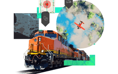
Drone (Survey, Inspection, Surveillance, and Mapping)

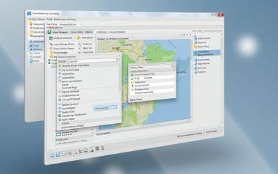
Geographic Information System

Land Surveying

Remote Sensing and Satellite Mapping

Hydrographic Survey (Bathymetry)

Geophysical Survey

Training (Beginners to Advance / Professional)

GeoStore (Buy Products) Hardware / Software