Search for the training you need
At Geoinfotech, we’re committed to supporting your training in geoinformatics and related technologies.
Whether you’re brand-new to ArcGIS, Drone, Surveying and Mapping or a seasoned GIS professional who wants to master the latest technology, we have resources to help you achieve your goals

Physical Training
At Geoinfotech we offer extensive hands-on practical training and field experience for individuals, group or for organizations. Register to explore our courses on Drone, GIS, Remote Sensing, GPS, Python development, advanced analysis tools, and many more.

Online Traning
Explore Geoinfotech's online training platform, at home or anywhere you are on Drone, GIS, Remote Sensing, GPS, Python development, advanced analysis tools, and many more. We have developed our online platform to be responsive for easy navigation and professionally recorded for better understanding.

China’s Tianwen-1 makes China latest to reach Mars
China’s Tianwen-1 spacecraft successfully rolled into Mars orbit the morning of Wednesday 10...

Surveyor General: SDGs Unattainable Without Proper Mapping
The Surveyor General of the Federation, Mr. Taiwo Adeniran, has maintained that the Sustainable...
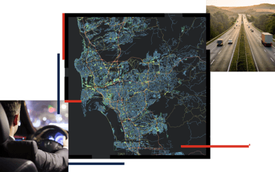
GIS AND NAVIGATION
GIS is influential across many aspects of society in today’s world including the transportation...
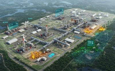
Harnessing GIS for Environmental Impact Assessment in the Oil, Gas, and Energy Sector.
The oil, gas, and energy industries are central to global development—but they also pose...
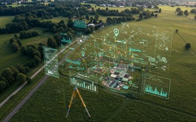
Why Modern Land Surveying Needs GIS: Unlocking Smarter Decisions
In today’s rapidly developing world, accurate information about the Earth’s surface is more...
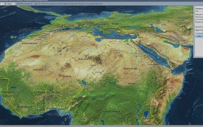
Georeferencing and Digitizing in QGIS – Series 4
Many valuable maps and spatial records still exist as scanned images. Examples are historical...
SERVICE LIST
We take your industry to the next level. Support Service Geoinfotech

Drone (Survey, Inspection, Surveillance, and Mapping)

Geographic Information System

Land Surveying

Remote Sensing and Satellite Mapping

Hydrographic Survey (Bathymetry)

Geophysical Survey

Training (Beginners to Advance / Professional)

GeoStore (Buy Products) Hardware / Software