Search for the training you need
At Geoinfotech, we’re committed to supporting your training in geoinformatics and related technologies.
Whether you’re brand-new to ArcGIS, Drone, Surveying and Mapping or a seasoned GIS professional who wants to master the latest technology, we have resources to help you achieve your goals

Physical Training
At Geoinfotech we offer extensive hands-on practical training and field experience for individuals, group or for organizations. Register to explore our courses on Drone, GIS, Remote Sensing, GPS, Python development, advanced analysis tools, and many more.

Online Traning
Explore Geoinfotech's online training platform, at home or anywhere you are on Drone, GIS, Remote Sensing, GPS, Python development, advanced analysis tools, and many more. We have developed our online platform to be responsive for easy navigation and professionally recorded for better understanding.
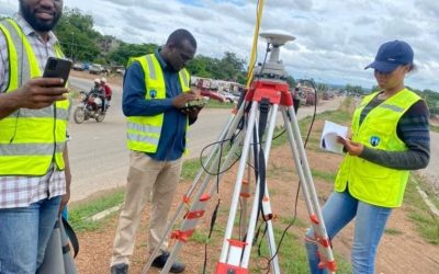
Drone Mapping and Survey in Nigeria
What is Drone Mapping and Survey & how is it used in Nigeria? Drone mapping involves using a...
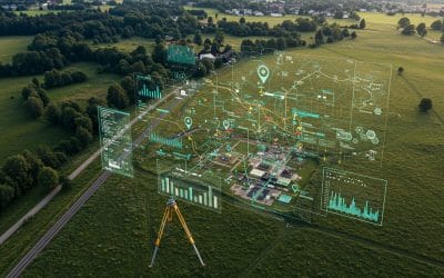
Why Modern Land Surveying Needs GIS: Unlocking Smarter Decisions
In today’s rapidly developing world, accurate information about the Earth’s surface is more...

ARCGIS MODELBUILDER: Automating Spatial Workflows
Model Builder is a visual programming tool in ArcGIS Pro (and earlier ArcMap) that lets GIS...
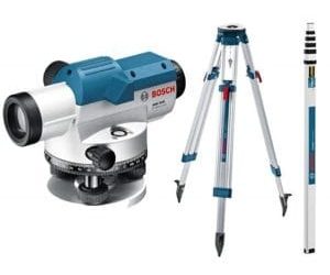
The Professional’s Guide: Essential Survey Equipment for Nigeria’s Oil & Gas Projects (2026)
In the high-stakes world of Nigeria’s Oil and Gas industry, precision isn't just a...
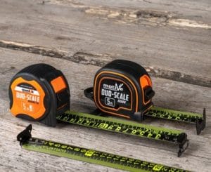
How to Maintain and Calibrate Survey Equipment in Nigeria’s Climate (2026 Guide)
In the high-stakes world of Nigerian construction and real estate, accuracy is your currency....

Future-Proof Your Degree: Essential Survey Equipment for Nigerian Engineering Students in 2026
Whether you are at UNILAG, ABU Zaria, FUTA, or UNN, the transition from student to professional...
SERVICE LIST
We take your industry to the next level. Support Service Geoinfotech

Drone (Survey, Inspection, Surveillance, and Mapping)

Geographic Information System

Land Surveying

Remote Sensing and Satellite Mapping

Hydrographic Survey (Bathymetry)

Geophysical Survey

Training (Beginners to Advance / Professional)

GeoStore (Buy Products) Hardware / Software