Search for the training you need
At Geoinfotech, we’re committed to supporting your training in geoinformatics and related technologies.
Whether you’re brand-new to ArcGIS, Drone, Surveying and Mapping or a seasoned GIS professional who wants to master the latest technology, we have resources to help you achieve your goals

Physical Training
At Geoinfotech we offer extensive hands-on practical training and field experience for individuals, group or for organizations. Register to explore our courses on Drone, GIS, Remote Sensing, GPS, Python development, advanced analysis tools, and many more.

Online Traning
Explore Geoinfotech's online training platform, at home or anywhere you are on Drone, GIS, Remote Sensing, GPS, Python development, advanced analysis tools, and many more. We have developed our online platform to be responsive for easy navigation and professionally recorded for better understanding.
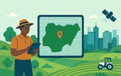
Geospatial Solutions in Nigeria | Geoinfotech Driving Smarter Cities & Farms
Introduction: Seeing Nigeria from a New Angle Have you ever noticed how looking at something from...

🌱 GIS in Agriculture Nigeria – Drone Mapping and Precision Farming Solutions
GIS in agriculture in Nigeria is transforming how farmers manage land, crops, and resources. By...
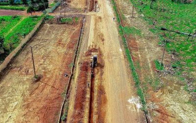
Benefits of Drone-Based Cadastral Surveying for Land Management in Nigeria
Accurate land records are the foundation of effective governance, property rights, and sustainable...
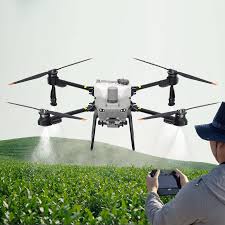
DJI Drone Mapping for Agricultural Land Surveys in Nigeria: Benefits & Equipment (2026 Guide)
In 2026, the name DJI is synonymous with the "Green Revolution" in Nigeria. From the massive rice...

Why GIS & Remote Sensing Tools Are Essential for Land-Use Planning in Nigeria (2026 Guide)
As Nigeria’s population continues its rapid ascent—projected to surpass 235 million in 2026—the...

Drone Regulations and Safety Tips for Surveying Projects in Nigeria (2026 Guide)
The landscape of Nigerian surveying has shifted. High-precision mapping is no longer just a...
SERVICE LIST
We take your industry to the next level. Support Service Geoinfotech

Drone (Survey, Inspection, Surveillance, and Mapping)

Geographic Information System

Land Surveying

Remote Sensing and Satellite Mapping

Hydrographic Survey (Bathymetry)

Geophysical Survey

Training (Beginners to Advance / Professional)

GeoStore (Buy Products) Hardware / Software