Search for the training you need
At Geoinfotech, we’re committed to supporting your training in geoinformatics and related technologies.
Whether you’re brand-new to ArcGIS, Drone, Surveying and Mapping or a seasoned GIS professional who wants to master the latest technology, we have resources to help you achieve your goals

Physical Training
At Geoinfotech we offer extensive hands-on practical training and field experience for individuals, group or for organizations. Register to explore our courses on Drone, GIS, Remote Sensing, GPS, Python development, advanced analysis tools, and many more.

Online Traning
Explore Geoinfotech's online training platform, at home or anywhere you are on Drone, GIS, Remote Sensing, GPS, Python development, advanced analysis tools, and many more. We have developed our online platform to be responsive for easy navigation and professionally recorded for better understanding.
No Results Found
The page you requested could not be found. Try refining your search, or use the navigation above to locate the post.

What is Geocoding?
Geocoding is the process of transforming a description of a location such as a pair of...
Geospatial technology and Remote Sensing in Ecology.
Geo-information technologies are valuable tools for ecological assessment in stressed...
Mining Exploration and Remote Sensing Imagery
Mining is at the forefront of the global economy and often an indicator of its health. Population...
SERVICE LIST
We take your industry to the next level. Support Service Geoinfotech

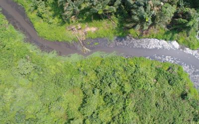
Drone (Survey, Inspection, Surveillance, and Mapping)

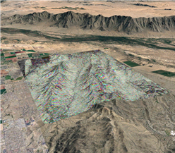
Geographic Information System

Land Surveying

Remote Sensing and Satellite Mapping

Hydrographic Survey (Bathymetry)

Geophysical Survey

Training (Beginners to Advance / Professional)

GeoStore (Buy Products) Hardware / Software