

Search for the training you need
At Geoinfotech, we’re committed to supporting your training in geoinformatics and related technologies.
Whether you’re brand-new to ArcGIS, Drone, Surveying and Mapping or a seasoned GIS professional who wants to master the latest technology, we have resources to help you achieve your goals

Physical Training
At Geoinfotech we offer extensive hands-on practical training and field experience for individuals, group or for organizations. Register to explore our courses on Drone, GIS, Remote Sensing, GPS, Python development, advanced analysis tools, and many more.

Online Training
Explore Geoinfotech's online training platform, at home or anywhere you are on Drone, GIS, Remote Sensing, GPS, Python development, advanced analysis tools, and many more. We have developed our online platform to be responsive for easy navigation and professionally recorded for better understanding.
SERVICE LIST
We take your industry to the next level. Support Service Geoinfotech

Drone (Survey, Inspection, Surveillance, and Mapping)

Geographic Information System

Land Surveying

Remote Sensing and Satellite Mapping

Hydrographic Survey (Bathymetry)

Geophysical Survey

Training (Beginners to Advance / Professional)

GeoStore (Buy Products) Hardware / Software
Discover the Best Canadian Casinos: A Comprehensive Guide
Explore the best Canadian casinos with our comprehensive guide. Uncover top online gaming...
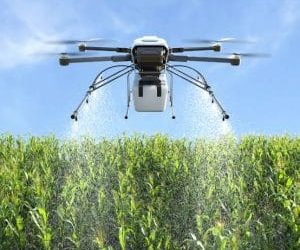
Drone Fungicide Spraying in Nigeria: Precision Disease Control, Canopy Coverage & Crop Protection
Cocoa farmers in southwest Nigeria face serious disease pressure during the rainy season. One...
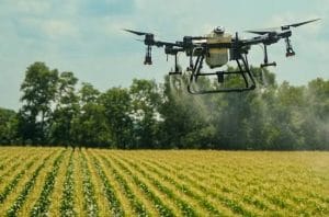
Drone Herbicide Spraying in Nigeria: Precision Weed Control, Targeted Application & Reduced Crop Damage
Nigeria's cereal-producing regions face serious weed pressure. One major example is Striga, a...

GIS and the Environment
GIS and the Environment GIS means Geographic Information Systems. It is a potent tool for...

GIS VS GPS: What’s The Difference?
GIS VS GPS: What’s The Difference? One might wonder what the difference is between GIS and GPS. At...

Bathymetry from Space
BATHYMETRY FROM SPACE According to Wikipedia definition, Bathymetry is the study of the underwater...