
Search for the training you need
At Geoinfotech, we’re committed to supporting your training in geoinformatics and related technologies.
Whether you’re brand-new to ArcGIS, Drone, Surveying and Mapping or a seasoned GIS professional who wants to master the latest technology, we have resources to help you achieve your goals

Physical Training
At Geoinfotech we offer extensive hands-on practical training and field experience for individuals, group or for organizations. Register to explore our courses on Drone, GIS, Remote Sensing, GPS, Python development, advanced analysis tools, and many more.

Online Training
Explore Geoinfotech's online training platform, at home or anywhere you are on Drone, GIS, Remote Sensing, GPS, Python development, advanced analysis tools, and many more. We have developed our online platform to be responsive for easy navigation and professionally recorded for better understanding.
SERVICE LIST
We take your industry to the next level. Support Service Geoinfotech

Drone (Survey, Inspection, Surveillance, and Mapping)

Geographic Information System

Land Surveying

Remote Sensing and Satellite Mapping

Hydrographic Survey (Bathymetry)

Geophysical Survey

Training (Beginners to Advance / Professional)

GeoStore (Buy Products) Hardware / Software
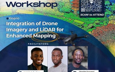
Unlock the Future of Surveying: Free Drone Imagery and LiDAR for Enhanced Mapping
Are you ready to dive into the future of surveying and geographic information systems (GIS)? Drone...

Where to Get Affordable Cheap Drones in Nigeria?
In today’s fast-paced digital era, businesses must embrace cutting-edge technology to gain a competitive edge. Drone technology is one such breakthrough that has altered a variety of sectors. Drones have become a vital tool for businesses all over the world due to their capacity to shoot aerial imagery,

The Intersection of GIS and Artificial Intelligence: A New Era of Spatial Analysis
Technology is advancing quickly, and one of the most exciting developments is the combination of...

Industries Benefiting from GIS and Drone Technology
Introduction Geographic Information Systems (GIS) and drone technology now drive innovation across...

Applications of Thermal Imaging and Inspection
Introduction Thermal imaging and inspection have become essential in nondestructive testing (NDT)...

The Power of Spatial Data: How GIS Is Shaping Environmental Management When you think about the...