
Search for the training you need
At Geoinfotech, we’re committed to supporting your training in geoinformatics and related technologies.
Whether you’re brand-new to ArcGIS, Drone, Surveying and Mapping or a seasoned GIS professional who wants to master the latest technology, we have resources to help you achieve your goals

Physical Training
At Geoinfotech we offer extensive hands-on practical training and field experience for individuals, group or for organizations. Register to explore our courses on Drone, GIS, Remote Sensing, GPS, Python development, advanced analysis tools, and many more.

Online Training
Explore Geoinfotech's online training platform, at home or anywhere you are on Drone, GIS, Remote Sensing, GPS, Python development, advanced analysis tools, and many more. We have developed our online platform to be responsive for easy navigation and professionally recorded for better understanding.
SERVICE LIST
We take your industry to the next level. Support Service Geoinfotech

Drone (Survey, Inspection, Surveillance, and Mapping)

Geographic Information System

Land Surveying

Remote Sensing and Satellite Mapping

Hydrographic Survey (Bathymetry)

Geophysical Survey

Training (Beginners to Advance / Professional)

GeoStore (Buy Products) Hardware / Software
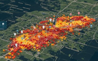
Mapping Disease Outbreaks: How GIS Is Transforming Public Health
Public health is a critical field that aims to improve the well-being of communities worldwide....

COMMON GIS MISTAKES AND HOW TO AVOID THEM
Geographic Information Systems (GIS) have become essential tools for businesses, researchers, and...
HOW TO CHOOSE THE RIGHT GIS SOFTWARE FOR YOUR BUSINESS
Choosing the right GIS software for your business is crucial for effective spatial data...

Geoinfotech: Nigeria’s Most Experienced Drone Company with Over a Decade of Proven Leadership
In Nigeria’s rapidly expanding drone industry, true leadership is defined by experience,...

Sky-High ROI: Drone Mapping for Real Estate Projects in Lagos (2026)
In the fast-paced Lagos real estate market, speed, precision, and reliable data are the new...

The Future of Land Surveying
Introduction Land surveying has long been a cornerstone of development, providing the spatial...