
Search for the training you need
At Geoinfotech, we’re committed to supporting your training in geoinformatics and related technologies.
Whether you’re brand-new to ArcGIS, Drone, Surveying and Mapping or a seasoned GIS professional who wants to master the latest technology, we have resources to help you achieve your goals

Physical Training
At Geoinfotech we offer extensive hands-on practical training and field experience for individuals, group or for organizations. Register to explore our courses on Drone, GIS, Remote Sensing, GPS, Python development, advanced analysis tools, and many more.

Online Training
Explore Geoinfotech's online training platform, at home or anywhere you are on Drone, GIS, Remote Sensing, GPS, Python development, advanced analysis tools, and many more. We have developed our online platform to be responsive for easy navigation and professionally recorded for better understanding.
SERVICE LIST
We take your industry to the next level. Support Service Geoinfotech

Drone (Survey, Inspection, Surveillance, and Mapping)

Geographic Information System

Land Surveying

Remote Sensing and Satellite Mapping

Hydrographic Survey (Bathymetry)

Geophysical Survey

Training (Beginners to Advance / Professional)

GeoStore (Buy Products) Hardware / Software
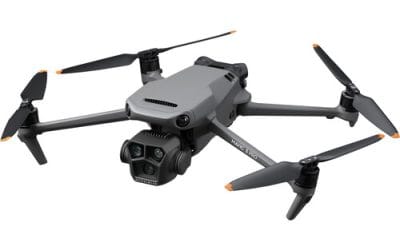
Where to Buy DJI Mavic 3 Pro Fly More Combo + RC in Lagos, Nigeria
Where to Buy DJI Mavic 3 Pro Fly More Combo + RC in Lagos, Nigeria (2026 Guide) If you’re...
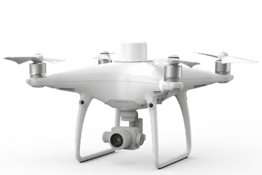
Where to Buy DJI Phantom 4 RTK with D-RTK 2 in Lagos, Nigeria
Where to Buy DJI Phantom 4 RTK with D-RTK 2 Mobile Station in Lagos, Nigeria (2026 Guide) If you...
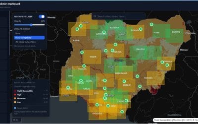
Nigeria Flood Prediction Dashboard: Building a Smarter Way to Monitor Flood Risk
Flooding remains one of the most disruptive environmental hazards in Nigeria. It affects lives,...

Streamline Your Surveying: The New Automated GCP Toolbox Now on GeoStore
In the world of photogrammetry and high-precision surveying, Ground Control Points (GCPs) are the...

GeoStore: GIS Tools For Nigeria
1. The QGIS Topographical Plugin: One-Click Terrain Mastery Running multiple tools for a single...

Mastering Terrain Intelligence: How Geoinfotech’s QGIS Topographical Plugin is Redefining Engineering and Planning
In the modern landscape of civil engineering, urban planning and environmental management, the...