

Search for the training you need
At Geoinfotech, we’re committed to supporting your training in geoinformatics and related technologies.
Whether you’re brand-new to ArcGIS, Drone, Surveying and Mapping or a seasoned GIS professional who wants to master the latest technology, we have resources to help you achieve your goals

Physical Training
At Geoinfotech we offer extensive hands-on practical training and field experience for individuals, group or for organizations. Register to explore our courses on Drone, GIS, Remote Sensing, GPS, Python development, advanced analysis tools, and many more.

Online Training
Explore Geoinfotech's online training platform, at home or anywhere you are on Drone, GIS, Remote Sensing, GPS, Python development, advanced analysis tools, and many more. We have developed our online platform to be responsive for easy navigation and professionally recorded for better understanding.
SERVICE LIST
We take your industry to the next level. Support Service Geoinfotech

Drone (Survey, Inspection, Surveillance, and Mapping)

Geographic Information System

Land Surveying

Remote Sensing and Satellite Mapping

Hydrographic Survey (Bathymetry)

Geophysical Survey

Training (Beginners to Advance / Professional)

GeoStore (Buy Products) Hardware / Software
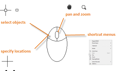
How Long Does It Take to Learn AutoCAD? Training Timeline Explained
Introduction If you are considering learning AutoCAD, one of the first questions you will probably...

Best AutoCAD Training Courses in 2026: Online and Offline Options
INTRODUCTION Learning AutoCAD in 2026 is no longer limited to sitting in a classroom and watching...
Welcome to nk101 Casino: Your Premier Gaming Destination
Discover nk101 Casino, where thrilling experiences await! Learn about games, promotions, and more....

Different Terminologies – Drone, UAV, UAS, RPA or RPAS
Drone UAV UAS RPA or RPAS UAV - UAV is the acronym of Unmanned Aerial Vehicle is the most frequent...
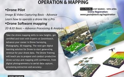
Training on Drone Operation and Mapping
Training on Drone Operation Take the drone mapping skills to new heights and train with Experts at...
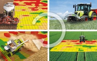
GIS Applications in Agriculture
GIS drone Agriculture mapping Precision Farming –producing more bushels per acre, while using...