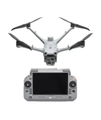
Where to Buy a DJI Matrice 4TD Thermal Drone for Dock 3 in Lagos, Nigeria If you're searching for...


YOU MAY ALSO LIKE...
Where to Buy a DJI Matrice 4TD Thermal Drone for Dock 3 in Lagos, Nigeria If you're searching for...
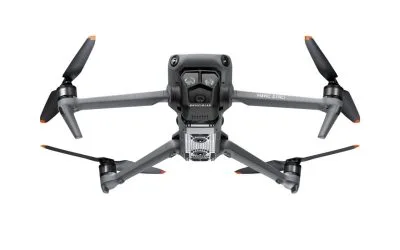
Where to Buy DJI Mavic 3 Enterprise Series RTK Module in Lagos, Nigeria (2026 Guide) If you are...
Where to Buy DJI Mavic 3 Pro Cine Premium Combo in Lagos, Nigeria (2026 Guide) If you’re searching...
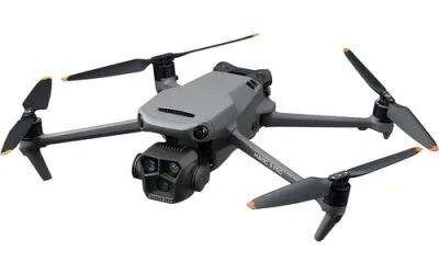
Where to Buy DJI Mavic 3 Pro Fly More Combo + RC in Lagos, Nigeria (2026 Guide) If you’re...
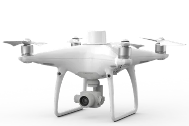
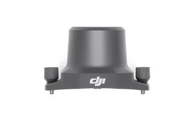
Where to Buy DJI Phantom 4 RTK with D-RTK 2 Mobile Station in Lagos, Nigeria (2026 Guide) If you...
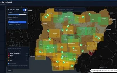
Flooding remains one of the most disruptive environmental hazards in Nigeria. It affects lives,...