Quick Summary Looking for where to buy the DJI Agras T50 Generator in Lagos, Nigeria? This guide...


YOU MAY ALSO LIKE...
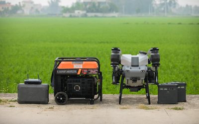
Quick Summary Looking for where to buy the DJI Agras T50 Generator in Lagos, Nigeria? This guide...
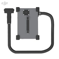
Quick Summary Looking for where to buy the DJI Agras T50 Charging Station in Lagos, Nigeria? This...
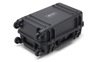
Where to Buy the BS65 Intelligent Battery Station in Lagos, Nigeria Quick Summary Looking for...
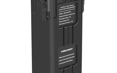
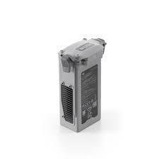
Where to Buy the DJI Mavic 3 Battery in Lagos, Nigeria Quick Summary Looking for where to buy the...
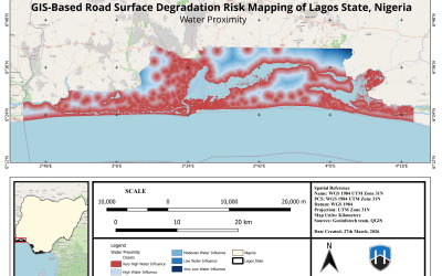
We pointed a radar satellite at every road in Lagos. 82,992 segments. 17,997 kilometres. All 20...
Where to Buy the DJI Matrice 4D Series Battery in Lagos, Nigeria Looking for where to buy the DJI...