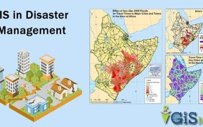
Disaster management is a multidisciplinary process aimed at reducing the impact of natural and...
GIS and Remote Sensing
YOU MAY ALSO LIKE...
Leveraging GIS Technology for Smart Urban Planning
Urban planning has evolved from paper maps and manual designs to digital and data-driven systems....
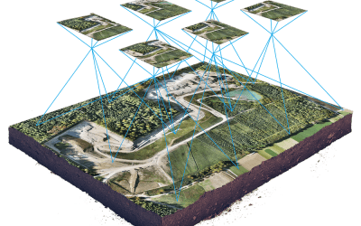
PHOTOGRAMMETRY: PHOTOS TO 3D: THE PHOTOGRAMMETRY WORKFLOW
Introduction to Photogrammetry Photogrammetry is transforming how we capture and visualize the...
Benefits of Drone-Based Cadastral Surveying for Land Management in Nigeria
Drone technology is reshaping how land is mapped, measured, and managed across Nigeria. In recent...
Drone Services in Abuja: What to Know About FCT Airspace
Learn how to fly drones legally in Abuja. Understand NCAA rules, Aso Rock restrictions, and...
Importance of Geospatial Analysis in Decision Making
In today’s data-driven world, organisations and governments are increasingly turning to geospatial...


