Search for the training you need
At Geoinfotech, we’re committed to supporting your training in geoinformatics and related technologies.
Whether you’re brand-new to ArcGIS, Drone, Surveying and Mapping or a seasoned GIS professional who wants to master the latest technology, we have resources to help you achieve your goals
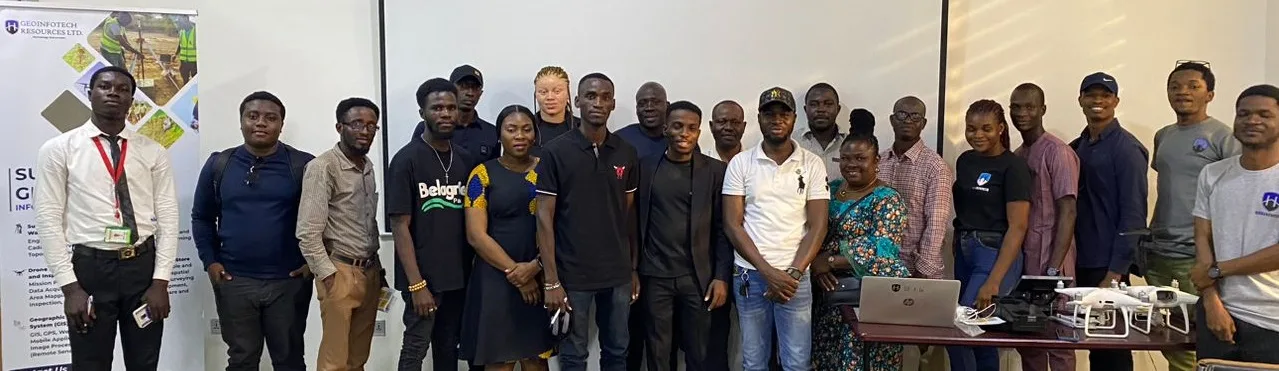
Physical Training
At Geoinfotech we offer extensive hands-on practical training and field experience for individuals, group or for organizations. Register to explore our courses on Drone, GIS, Remote Sensing, GPS, Python development, advanced analysis tools, and many more.

Online Traning
Explore Geoinfotech's online training platform, at home or anywhere you are on Drone, GIS, Remote Sensing, GPS, Python development, advanced analysis tools, and many more. We have developed our online platform to be responsive for easy navigation and professionally recorded for better understanding.
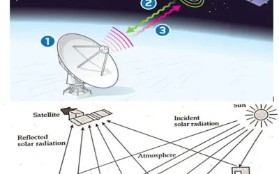
REMOTE SENSING ELEMENTS EXPOSITORY
REMOTE SENSING ELEMENTS EXPOSITORY Elements of Remote Sensing Remote Sensing Elements...
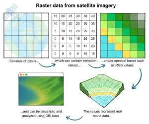
IMPORTANCE OF REMOTELY SENSED SATELLITE DATA AND IMAGES
IMPORTANCE OF REMOTELY SENSED SATELLITE DATA AND IMAGES Introduction Remotely sensed...
Top Remote Sensing Training Centres in Lagos, Abuja, and Port Harcourt.
Top Remote Sensing Training Centres in Lagos, Abuja, and Port Harcourt. How to Find the Right...

Stopping Pipeline Vandalism in Nigeria with Drone Surveillance and AI
Stopping Pipeline Vandalism in Nigeria with Drone Surveillance and AI Nigeria loses billions...
Where to Buy Agisoft Metashape in Lagos, Nigeria | Genuine Photogrammetry Software Licenses
Where to Buy Agisoft Metashape in Lagos, Nigeria Quick Summary Looking for where to buy Agisoft...

Where to Buy ArcGIS Network Analyst Extension in Lagos, Nigeria | Genuine ArcGIS Licensing & Support
Where to Buy ArcGIS Network Analyst Extension in Lagos, Nigeria Quick Summary Looking for where to...
SERVICE LIST
We take your industry to the next level. Support Service Geoinfotech

Drone (Survey, Inspection, Surveillance, and Mapping)

Geographic Information System

Land Surveying

Remote Sensing and Satellite Mapping

Hydrographic Survey (Bathymetry)

Geophysical Survey

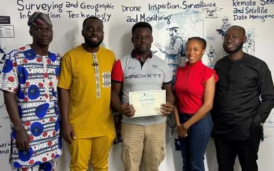
Training (Beginners to Advance / Professional)

GeoStore (Buy Products) Hardware / Software