404
Oops!, that page can’t be found.
There are other options that might interest you below
Oops!, that page can’t be found.
There are other options that might interest you below
Search Results

Building a career path as a LIDAR ANALYST
LIDAR (Light Detection Ranging) Analyst is responsible for the analysis of remotely sensed data. LIDAR Analyst is one the job field under GIS. There are certain skills that a Lidar analyst must have in order to accomplish their responsibilities and the most important...
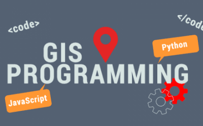
Geographic Information System (GIS) Programmer
Geographic Information System (GIS) programmer utilizes computer-based applications to collect, analyze, geographic or spatial data. To become a Programmer, one has to earn a bachelor’s degree in geography, computer science, engineering, or a related field. Skills...
What is WEBGIS GEOGRAPHIC INFORMATION SYSTEM?
WebGIS is an advanced form of geospatial Information System. The web has revolutionized every aspect of information distribution, be it news, video, the encyclopedia or how we communicate. A webGIS is computer software and hardware configuration that allows the...
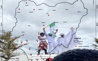
Location of the #EndSARS protest in Nigeria
Location of the #EndSARS protest in Nigeria Download map created by Mr Jamba-Oda Yinka The hashtag #EndSARS first surfaced in 2017 as activists in Nigeria sought to abolish a federal police unit called the Special Anti-Robbery Squad. SARS, as it is commonly known,...

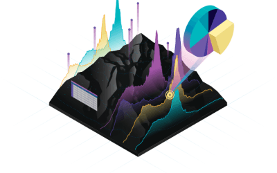
Benefits of Geoinfotech GIS Master Class Training
Benefits of Geoinfotech GIS Master Class Training The benefits of Geoinfotech GIS master class training. This course will develop your skills from beginners to advanced level in spatial data analysis, Cartographic mapping, making maps, application of Python...
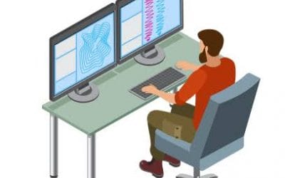
What is Necessary to be a Remote Sensing Analyst
Remote sensing involves collecting information about places or objects on the earth’s surface from a distance. Remote sensing analysts work with data measured from satellite or aircraft to infer what it means about the world, presenting maps and other information to...
Geographic Information System (GIS) in the Security Sector
GIS in the Security Sector Geospatial technologies (GIS) have become synonymous with their application in all aspects of national resource management. Geospatial information is valuable for understanding and better assessment of security program management to save...
DATABASE MANAGEMENT SYSTEM PLUS GIS (DBMS)
A Database Management System (DBMS) is a set of computer programs that controls the creation, maintenance, stores, retrieve, define and manage data in a database. Basic database concepts are important since GIS incorporates much of the functionality of DBMS. ...
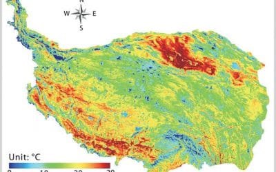
LAND SURFACE PROCESS AND REMOTE SENSING
Remote sensing offers key tools for the earth and environment observation as well as assessments of effects caused by climate change or global change processes related to urbanization, migrations, or land-use change. It is needed in all environmental...
CONTACT US