404
Oops!, that page can’t be found.
There are other options that might interest you below
Oops!, that page can’t be found.
There are other options that might interest you below
Search Results

Effective Telecommunication through geospatial intelligence
Effective Telecommunication through geospatial intelligence As a fast-growing GIS market, Telecommunications networks have become expansive, creating large quantities of geographically dispersed asset data. Geospatial intelligence enables employees to deepen their...

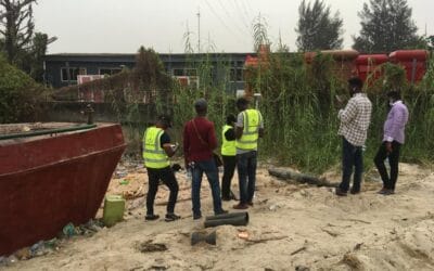
NIS encourages the use of technology in preventing collapse
NIS encourages the use of technology in preventing collapse According to the Nigerian Institution of Surveyors (NIS) at Lagos, the use of Global Navigation System (GNSS) Technology to monitor high-rise buildings will also help prevent building collapse. During the...

Monitoring Agriculture using Remote Sensing
Monitoring Agriculture using Remote Sensing Remote sensing is the technology that detects and monitors characteristics of an area that are visible, by measuring its reflected and emitted radiation at a distance (typically from satellite or aircraft). High-tech cameras...

How we carry out damp survey on building structures
Of course, damp issues often result in a prospective buyer’s mortgage losing interest and becoming rejected. And this is more reason, you should be involved in how we carry out a damp survey on building structures. When selling a house or flat requiring extensive work...
How property for valuation is prepared by our land surveyors
In order to achieve seamless results, property for valuation is prepared by our land surveyors to commence technical assessment of construction methods and materials, in order to give a detailed report. What is a property valuation? In property valuation, the...

Geoinfotech Drone Mapping, Surveying and Inspection Services
Geoinfotech Drone Mapping, Surveying and Inspection Services Geoinfotech Resource Limited offers a fully accredited drone mapping, surveying, and inspection services-based system for the safe inspection of industrial confined spaces. Our technology allows you to...
How Geoinfotech relates cartography in GIS environment
How Geoinfotech relates cartography in the GIS environment Over the years, Geoinfotech relates cartography in the GIS environment helping us in mapping the world in a conformal projection. Cartography as a science was not established until the German geographer Max...

How Geoinfotech surveyors work with the principles of GIS
How Geoinfotech surveyors work with the principles of GIS Geoinfotech Surveyors work with the Principles of GIS to help both the government agencies and private organizations, ranging from planning and construction to engineering and land boundary determination. GIS...
The Esri Company
The Esri Company The founder and president of Esri, Jack Dangermond founded the Esri company in the year 1969 with headquarters in Redlands, California. Esri is a global company that comprises 49 offices worldwide and has 4,000 employees from 73 countries. A lot of...
CONTACT US