404
Oops!, that page can’t be found.
There are other options that might interest you below
Oops!, that page can’t be found.
There are other options that might interest you below
Search Results

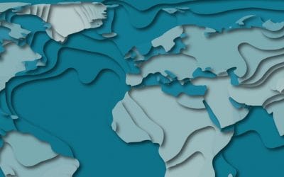
How Geospatial Data And Technologies Can Help In Disease Prevention And Control
How Geospatial Data And Technologies Can Help In Disease Prevention And Control How Geospatial Data And Technologies Can Help In Disease Prevention And Control Credit: www.healthmap.org/en/ Many datasets can be spatially referenced to provide valuable information to...

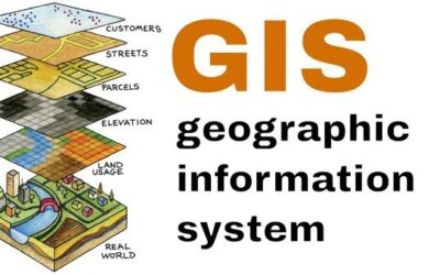
What is Geoinformatics?
What is Geo-informatics? Geo-informatics might be referred to as the academic discipline or career of working with geo-data for better understanding and interpretation of human interaction with the earth’s surface. In a broader term, it is a number of different...

What is Spatial Analysis
WHAT IS SPATIAL ANALYSIS? What is Spatial Statistics(Analysis)? An uncomplicated definition of Spatial analysis is the technique applied to structures at the human scale, most notably in the analysis of geographic data. According to Wikipedia, Spatial analysis...
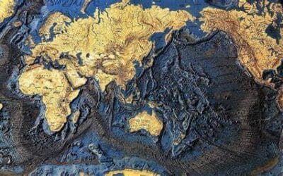
Turning Historical Map into 3D Map
Turning Historical Map into 3D Map Software Used: ArcGIS QGIS Blender Source for the Old Maps and Digital Elevation Model The first step in the process is to find an old digital vintage map of an area with some relief and a decent image resolution Historical maps...
Role of GIS in Regional and Geographical Planning and Construction
Role of GIS in Regional and Geographical Planning and Construction The capacity to better understand the current needs of a city, and then design to fulfill those needs is one of the important uses of GIS in the city and regional planning and designing. By processing...

Drone Cost In Nigeria
DRONE COST IN NIGERIA How much is a Drone in Nigeria? Drones otherwise known as Unmanned Aerial Vehicles UAVs have been around for decades. From its invention in the 30s, developed for aerial target practice to being used for espionage, military warfare,...

Gis Training Requirements For Enthusiasts
GIS TRAINING REQUIREMENTS FOR ENTHUSIASTS Geographic Information System GIS is used to collect, organize, manage, manipulate, analyze, store and present many types of spatial data that deal with location intelligence. When data is organized by its...
Geological Maps
GEOLOGICAL MAPS Geological Maps are special purpose maps that show the geological properties of land – rock types, rock age, bedding planes, shale, coal, and other naturally occurring phenomena. Geo Maps can be used for many different purposes, including assessing...

Court Invalidates Section 5 Of Lagos State Survey Law
COURT INVALIDATES SECTION 5 OF LAGOS STATE SURVEY LAW A Federal High Court sitting in Lagos has revoked Section 5 of the Lagos State Survey Law, which mandated surveyors to obtain written consent of the SurveyorSurveyor General of Lagos State before carrying...
CONTACT US