404
Oops!, that page can’t be found.
There are other options that might interest you below
Oops!, that page can’t be found.
There are other options that might interest you below
Search Results

GIS in Nigeria: Transforming the Way We See and Use Data
In today’s world, information is more powerful when it’s tied to a location. That’s exactly what GIS (Geographic Information Systems) makes possible. From urban planning in Lagos to disaster management in Abuja, GIS in Nigeria is helping government agencies, private...

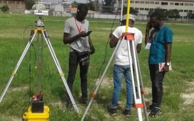
How DGNSS and Drone Surveying are Revolutionising Land Surveying and the Mining Industry
1. Introduction Surveying and mining are precision-driven industries where accuracy, efficiency, and safety are paramount. Traditionally, surveyors relied on tools like theodolites, total stations, and standalone GNSS, which were effective but limited by time, cost,...

From Code to Map: Enhancing Collaboration Between Developers & GIS Professionals
Are you ready to unlock the synergy between software development and GIS workflows? Geoinfo Academy invites you to an exclusive webinar: From Code to Map: Enhancing Collaboration Between Developers & GIS Professionals Date: 12th September, 2025 Time: 11 AM GMT...
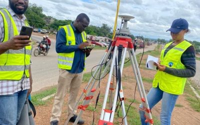
Land Surveying Fundamentals: Techniques, Tools, and Proven Best Practices
Land surveying is the scientific and systematic process of measuring and mapping the physical features of the Earth’s surface. It provides essential data for civil engineering, urban planning, cadastral mapping, resource management, and infrastructure development....
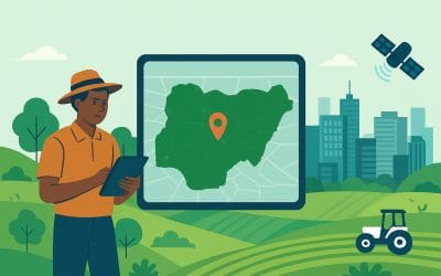
Geospatial Solutions in Nigeria | Geoinfotech Driving Smarter Cities & Farms
Introduction: Seeing Nigeria from a New Angle Have you ever noticed how looking at something from above gives you a clearer picture? That’s what geospatial technology does for Nigeria. It helps us see our land, farms, cities, and resources in ways that make planning...
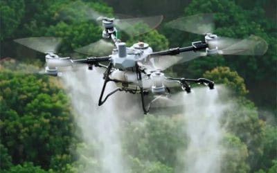
🌱 GIS in Agriculture Nigeria – Drone Mapping and Precision Farming Solutions
GIS in agriculture in Nigeria is transforming how farmers manage land, crops, and resources. By combining drone mapping in Nigeria, NDVI drone mapping in Lagos, and precision farming in Nigeria, agricultural businesses can reduce costs, boost yields, and improve...
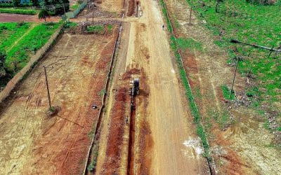
Benefits of Drone-Based Cadastral Surveying for Land Management in Nigeria
Accurate land records are the foundation of effective governance, property rights, and sustainable development. Yet in Nigeria, traditional cadastral surveying methods are often slow, expensive, and prone to disputes. With the rise of drone technology, the landscape...
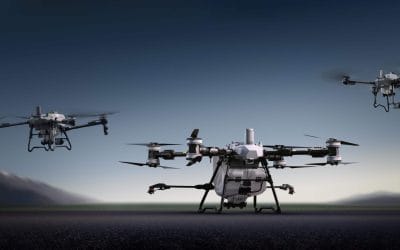
How Drones Are Used in Agriculture: Transforming Farming Through Aerial Intelligence.
In the past, farming relied heavily on manual labour, observational experience, and traditional tools to monitor crops and manage fields. Today, drones, also known as unmanned aerial vehicles (UAVs), are redefining modern agriculture, bringing precision, speed,...
How One Drone Flight Creates an Accurate Project Map
What is Drone Mapping? Drone mapping in Nigeria involves using a drone equipped with a high-resolution camera to capture hundreds of overlapping photos from the air. These images are stitched together using specialized software to produce a clear, accurate map. Unlike...
CONTACT US