Topographic Survey Services
Get a precise, detailed map of your land's natural and man-made features. Our topographic surveys provide the essential groundwork for smart, safe, and compliant development.


Why Your Project Needs a Topographic Survey
Don’t start your development blindly. A topographic survey is your land's blueprint, providing critical insights that ensure smart planning, effective design, and regulatory compliance.
Design with Confidence
Architects and engineers rely on topographic data to create designs that align with the land’s natural contours and features.
Accurate Cost Estimation
Identify terrain challenges early—like steep slopes or drainage issues—to prevent unexpected expenses during construction.
Regulatory Compliance
Ensure your plans meet local planning and permitting requirements with complete and compliant survey data.
Effective Drainage and Grading
Understand water flow patterns to design proper drainage systems and prevent future flooding or erosion.
Our Topographic Survey Process
We use the latest technology and proven methods to capture the land’s full profile—quickly, accurately, and efficiently. Our process ensures you get the data you need, in the format you need it.
Consultation and Planning
We start by understanding your project requirements, timelines, and intended use of the survey data.
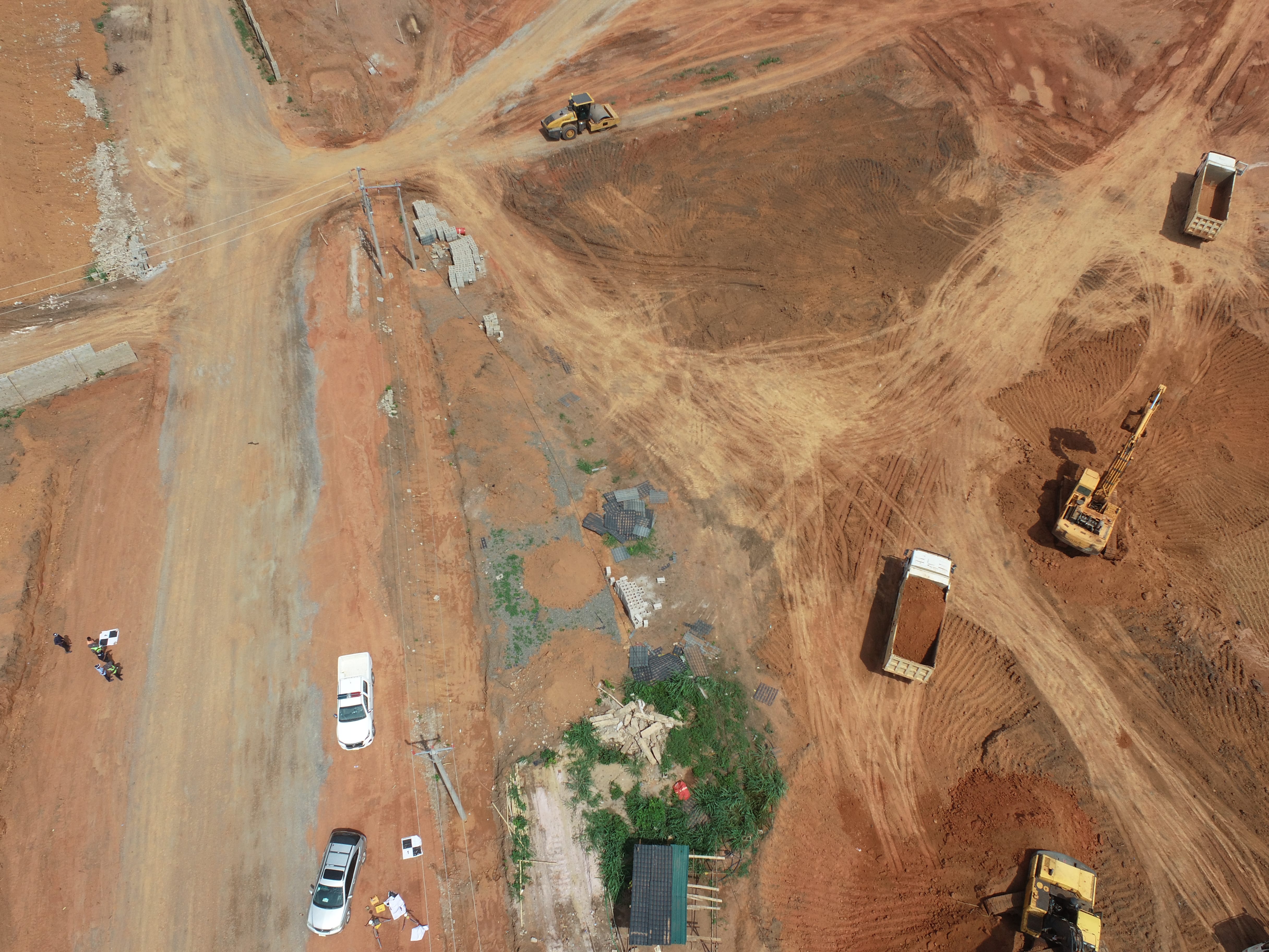
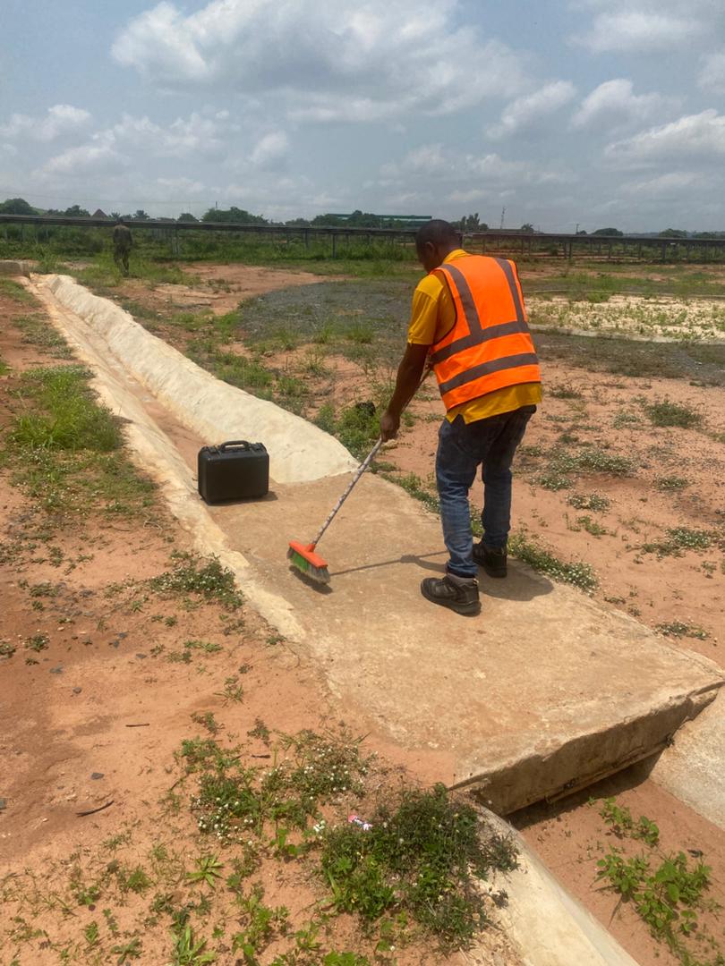
Data Collection
Our team uses GNSS receivers, Robotic Total Stations, and UAV (Drone) Photogrammetry to collect precise terrain data on-site.
Data Processing
The captured data is modeled using industry-standard software to produce an accurate Digital Terrain Model (DTM).
Final Deliverables
Receive clear, easy-to-use survey drawings in your preferred format (PDF, CAD/DWG, etc.), ready for use by your design team.

WHAT WE OFFER
Our Portfolio
Check out our previous projects on GIS, Drone, Land Surveyor and Mapping Services in Nigeria

Drone Training for Corporate Security - Sahara Group
Drone category, Drone operation and mapping, Geographic Information System (GIS) category, GIS and Remote sensing, Organisation Training, Training and Workshop
Aerial Survey & Mapping - Ogun State
Drone category, Drone operation and mapping, Geographic Information System (GIS) category, GIS and Remote sensing, Surveying
Thermal Drone Inspection - Enugu Solar Site
Drone category, Drone operation and mapping, GIS and Remote sensing, Surveying