Route & Road Survey Services
Every successful road, pipeline, or utility project begins with a clear and accurate path. Our professional route surveying services deliver the detailed topographic and spatial intelligence required to make informed decisions, avoid costly obstacles, and ensure your project is built on a foundation of data-driven certainty.

Why Route Surveying is Essential for Your Project
A route survey is the process of gathering spatial data to map out a Longitudinal Profile, depicting how a route's elevation changes along its centerline and across its corridors. It is a fundamental design drawing for highway, pipeline, and utility engineering, accurately capturing the terrain, existing features, and potential obstacles to find the most efficient and economical path.
Transportation Projects
Essential for designing roads, railways, tunnels, and bike paths, providing the vertical and horizontal data for safe construction.
Energy Infrastructure
Crucial for selecting and planning pipeline routes, power transmission lines, and renewable energy connections.
Utility Networks
Accurate mapping for laying water mains, sewer lines, and fiber optic cable networks to avoid conflicts.
Environmental & Right-of-Way
Precision mapping for stream, riparian zone, acquisition and management.
Our Data-Driven Route Surveying Workplan
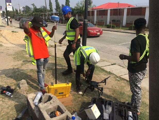
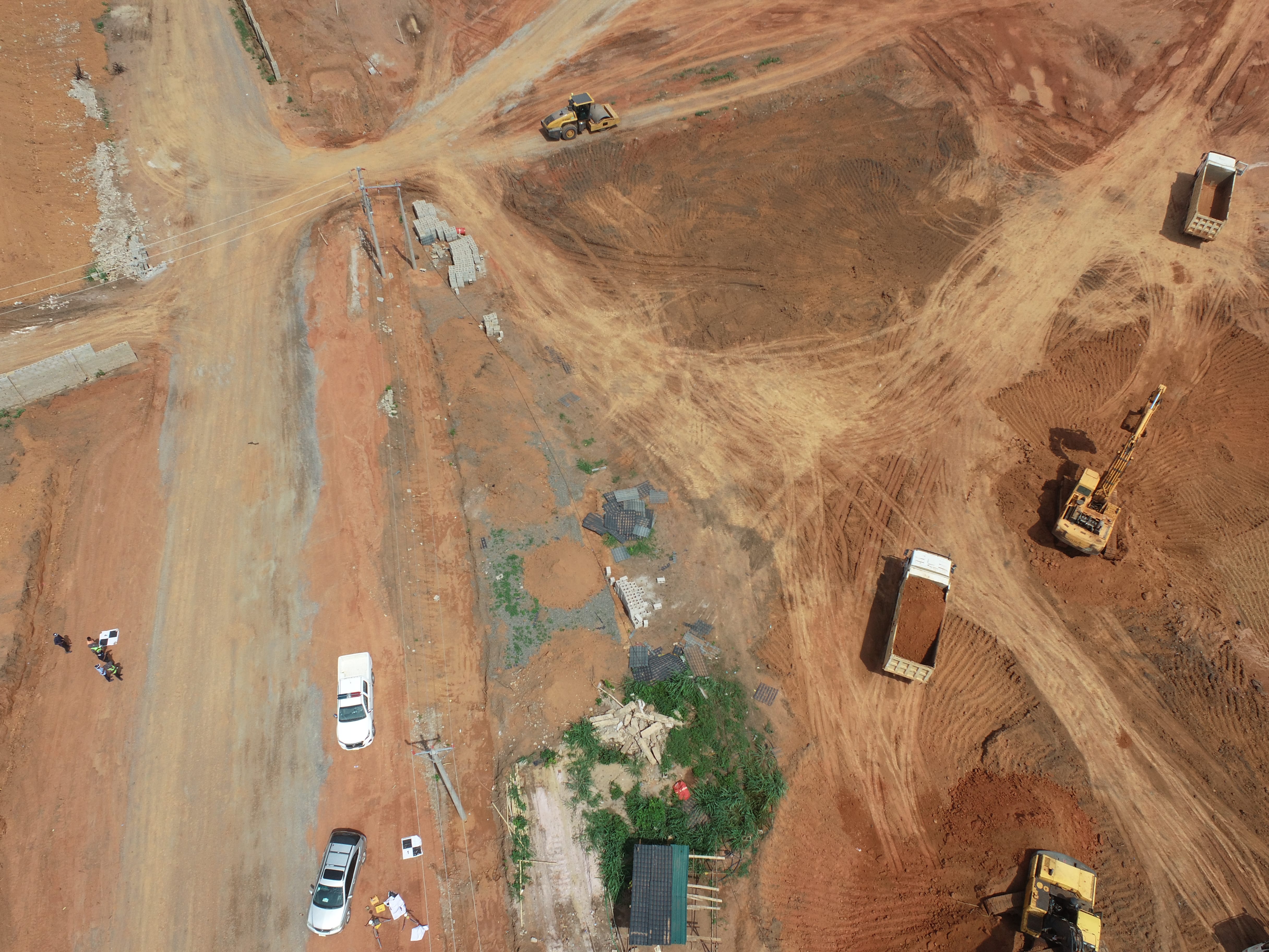
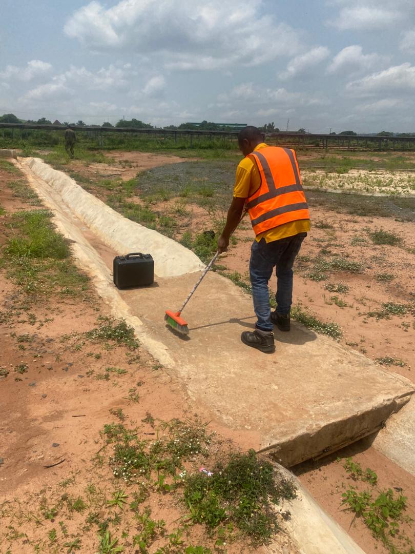
We combine advanced technology like GNSS, Total Stations, LiDAR, and Aerial Photogrammetry (DRONE) to capture millions of precise data points, translating raw data into detailed, CAD-ready deliverables for seamless integration into your design environment.
Planning & Reconnaissance
Review project goals, existing records, and conduct a preliminary site visit.
Data Acquisition
Use cutting-edge technology to capture millions of imagery along the proposed route.
Data Processing & Deliverables
Create detailed outputs including High-resolution topographic maps, DTMs, and 3D models.
Risk Mitigation & Cost Reduction
Identify the most economical path, navigate environmental sensitivities, and manage complex land ownership issues.

WHAT WE OFFER
Our Portfolio
Check out our previous projects on GIS, Drone, Land Surveyor and Mapping Services in Nigeria

Drone Training for Corporate Security - Sahara Group
Drone category, Drone operation and mapping, Geographic Information System (GIS) category, GIS and Remote sensing, Organisation Training, Training and Workshop
Aerial Survey & Mapping - Ogun State
Drone category, Drone operation and mapping, Geographic Information System (GIS) category, GIS and Remote sensing, Surveying
Thermal Drone Inspection - Enugu Solar Site
Drone category, Drone operation and mapping, GIS and Remote sensing, Surveying