Land Surveying and Geoinformatics
Committed to on-time product delivery, accurate and precise data.

Survey
Land Surveying and Geoinformatics Services
Land Surveying and Geoinformatics transform landscapes into actionable intelligence, delivering
precision data that supports smarter planning and development.
This powerful approach enhances decision-making, reduces risks, and drives efficiency across
multiple sectors, including:
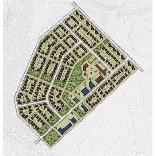

Subdivisions of Land (Layout and Planning)

Cadastral Surveys (Boundary Surveys)

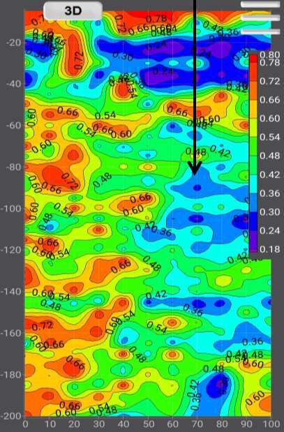
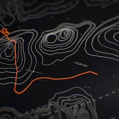
3D Laser Scanning (LIDAR)

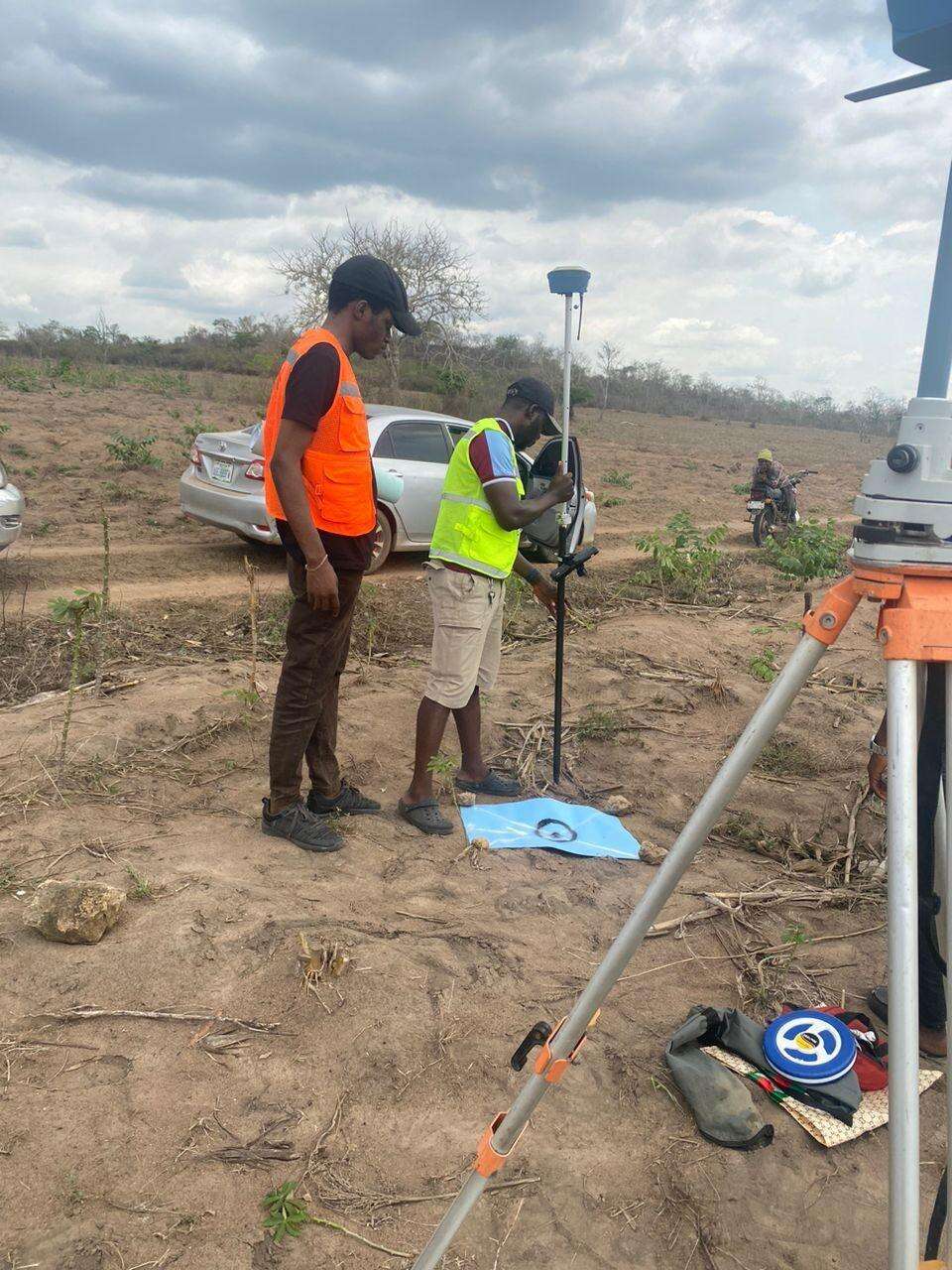
Renting of GNSS Receivers for Surveys

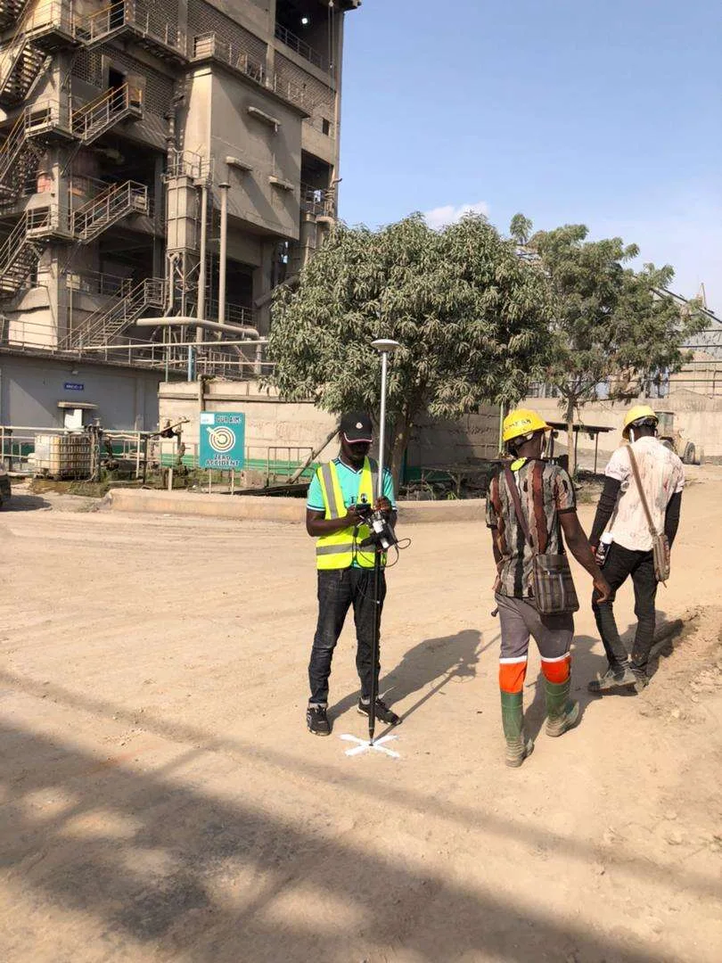
Topographic Surveys

Construction and Engineering Layout Surveys


Route Surveys and Land Status Verification


Hydrographic Surveys
Survey Plan (Plotting Record Copy Plans)

Digital Base Mapping
Disaster Management
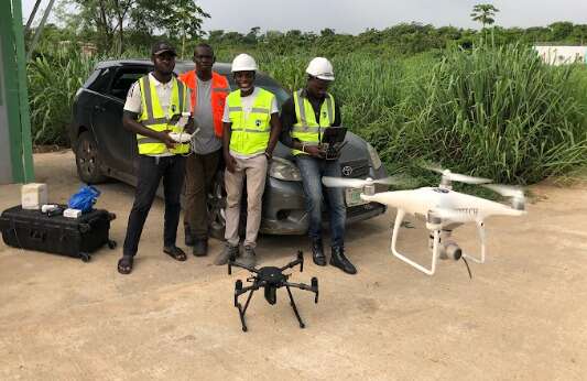
Aerial Photography
Easement Regulatory Setback Lines
Photogrammetric & Ground Control Survey
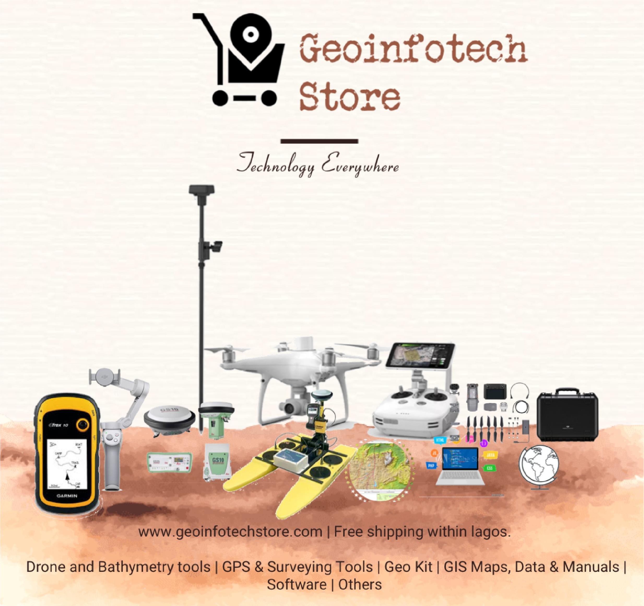
GeoStore
GIS Training and Consulting
Project
Featured Land Survey Service
Acquire
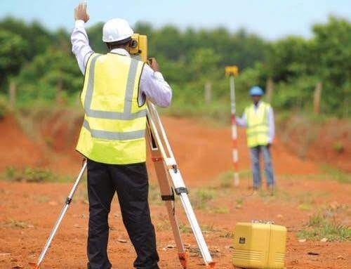
LAND SURVEYING
We gather accurate and precise measurements and spatial information related to the physical characteristics and boundaries of a piece of land or property, using various advanced surveying instruments and techniques.

Application
Land Mapping
Our skilled land surveyor and geoinformatics expert, give meticulous attention to detail, and proficiency in cutting-edge technologies enable us to deliver unparalleled precision, accuracy, and efficiency in spatial data acquisition, analysis, and interpretation, making me the ideal choice for any geospatial project.

Capabilities
Training Program

WHAT WE OFFER
Our Portfolio
Check out our previous projects on GIS, Drone, Land Surveyor and Mapping Services in Nigeria

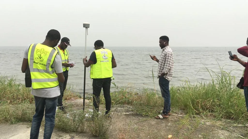
Comprehensive Maritime Surveillance
We provide robust offshore surveillance and monitoring of maritime infrastructure, ensuring the safety, security, and efficiency of your assets at sea.

Lakowe Golf Lake Aerial Survey
We provide comprehensive aerial survey and mapping for golf course asset management, ensuring meticulous data collection and analysis for the Lakowe Golf Lake.

Drone Training for Corporate Security
We offer a professional drone training program for Sahara Group, enhancing corporate security operations with skills to utilize drone technology effectively for surveillance.