Plotting Land Survey Record Copy Plans (RCP)
Turn your surveyor's data into an official, high-quality Record Copy Plan (RCP). Geoinfotech's specialized service meticulously plots your land survey for submission to the Land Registry, local councils, and legal documentation. Ensure accuracy, clarity, and compliance with the ministry of lands and surveys.


Why a Record Copy Plan is a Critical Document
A Record Copy Plan (RCP) is a precise, scaled drawing that defines property boundaries, easements, setbacks, and new lot creations. It is a critical document required for successfully completing legal and developmental processes.
Property Registration & Title
Required for officially recording land with the Titles Office and obtaining or transferring a legal land title.
Council & Building Approval
Necessary for submitting development applications, subdivisions, and obtaining essential building permits.
Easement & Right-of-Way
Documents and defines the legal rights of way, access rights, and other encumbrances on the property.
Legal Clarity for Transactions
Provides an unambiguous, certified record for property sales, transfers, and legal proceedings.
Our Plotting Process Ensures Precision and Compliance
We ensure your plan meets all necessary standards for a successful submission to the Land Registry and local government, eliminating potential delays caused by inaccurate or non-compliant plans.
Data Review and Validation
Our experts carefully examine and validate your surveyor's raw data files or existing PDFs for completeness and integrity.
Expert Plotting and Annotation
Using industry-standard software (AutoCAD, GIS), we create a clean, scaled, and fully annotated plan with all legal markers.
Quality Assurance and Certification
Every detail is double-checked for absolute accuracy and compliance with SURCON and Land Registry specifications.
Guaranteed Accuracy & Fast Turnaround
We eliminate costly errors and deliver a print-ready PDF and DWG file quickly to keep your legal and construction timelines on track.

WHAT WE OFFER
Our Portfolio
Check out our previous projects on GIS, Drone, Land Surveyor and Mapping Services in Nigeria

Drone Training for Corporate Security - Sahara Group
Drone category, Drone operation and mapping, Geographic Information System (GIS) category, GIS and Remote sensing, Organisation Training, Training and Workshop
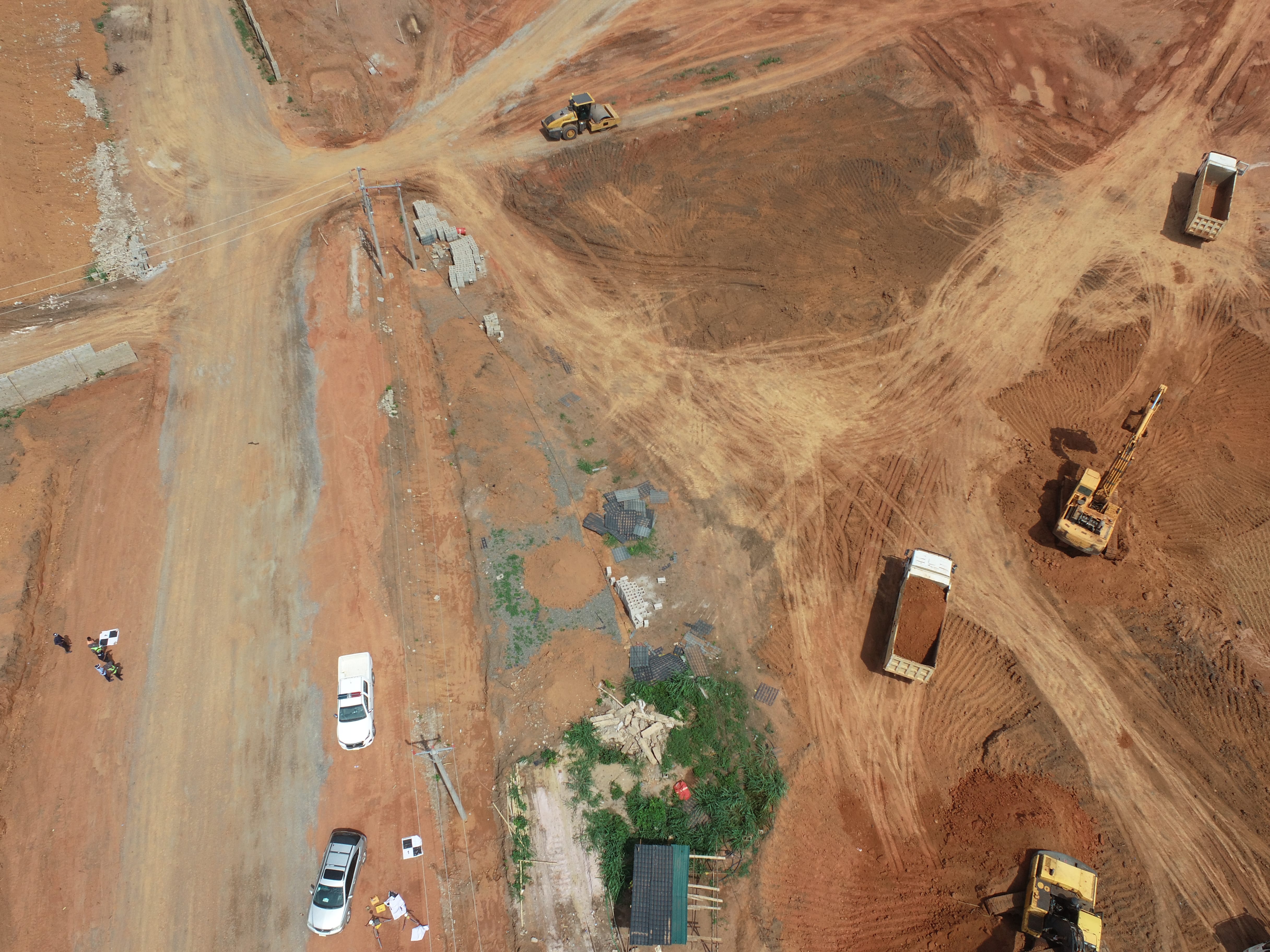
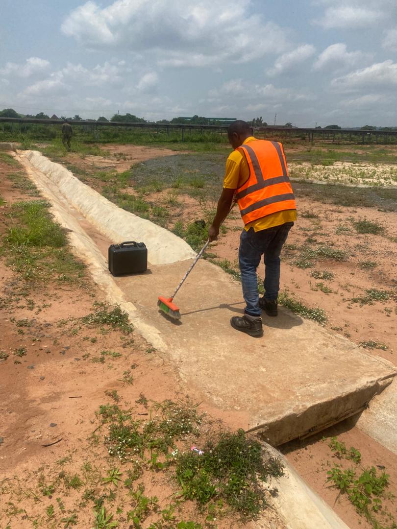
Aerial Survey & Mapping - Ogun State
Drone category, Drone operation and mapping, Geographic Information System (GIS) category, GIS and Remote sensing, Surveying
Thermal Drone Inspection - Enugu Solar Site
Drone category, Drone operation and mapping, GIS and Remote sensing, Surveying