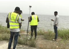
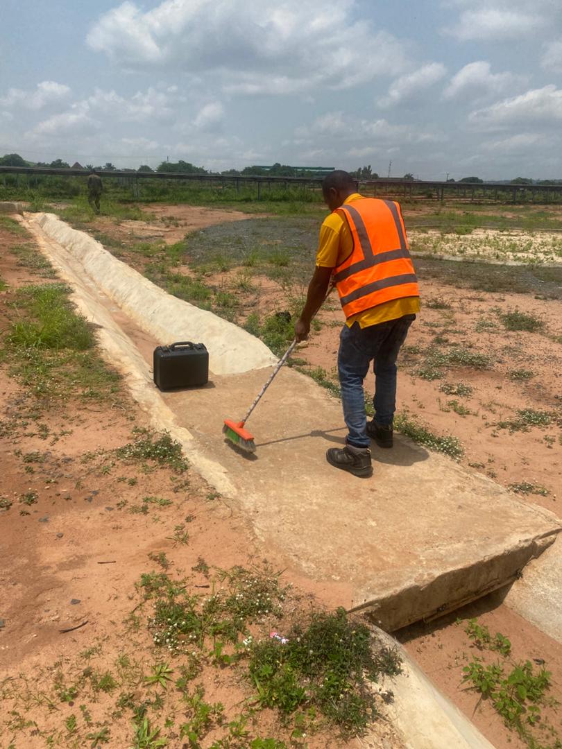
Hydrographic Survey Services
Hydrographic survey is the science of measuring and describing features affecting marine construction, navigation, and coastal zone management. Using most recent technology like multibeam echosounders and side-scan sonar, Geoinfotech maps the seafloor to create detailed charts of the sea bed.

Why Hydrographic Surveys are Critical
Accurate data is the foundation of any successful maritime project. Our surveys provide the essential intelligence needed for safe operations, precise construction planning, and regulatory compliance across all offshore environments.
Ensure Safe Navigation
Identify underwater hazards, chart depths, and update nautical charts to protect vessels and minimize risk.
Support Marine Construction
Plan and design ports, terminals, pipelines, and offshore wind farms with high-confidence seabed data.
Dredging and Volume Calculation
Calculate precise volumes for dredging projects and monitor progress efficiently to control costs and timelines.
Subsea Infrastructure Inspection
Survey cables, pipelines, and outfalls for integrity, burial status, and maintenance planning.
Our Advanced Hydrographic Workplan
Geoinfotech doesn't just collect data; we deliver actionable insights. Our certified hydrographers follow a meticulous process, from defining objectives to providing tailored 3D visualizations and comprehensive reports.
Planning & Strategy
Define your project's specific objectives and design a customized survey strategy to meet them efficiently.
Cutting-Edge Data Acquisition
Our crews use the latest technology to capture high-resolution data from the seabed and water column.
Processing & Analysis
Powerful software processes millions of data points to create clean, accurate models and detailed charts.
Technology & Precision
We utilize Multibeam and Single beam Echosounders, Side-Scan Sonar, and Sub-bottom Profilers for precision and efficiency.

WHAT WE OFFER
Our Portfolio
Check out our previous projects on GIS, Drone, Land Surveyor and Mapping Services in Nigeria

Drone Training for Corporate Security - Sahara Group
Drone category, Drone operation and mapping, Geographic Information System (GIS) category, GIS and Remote sensing, Organisation Training, Training and Workshop
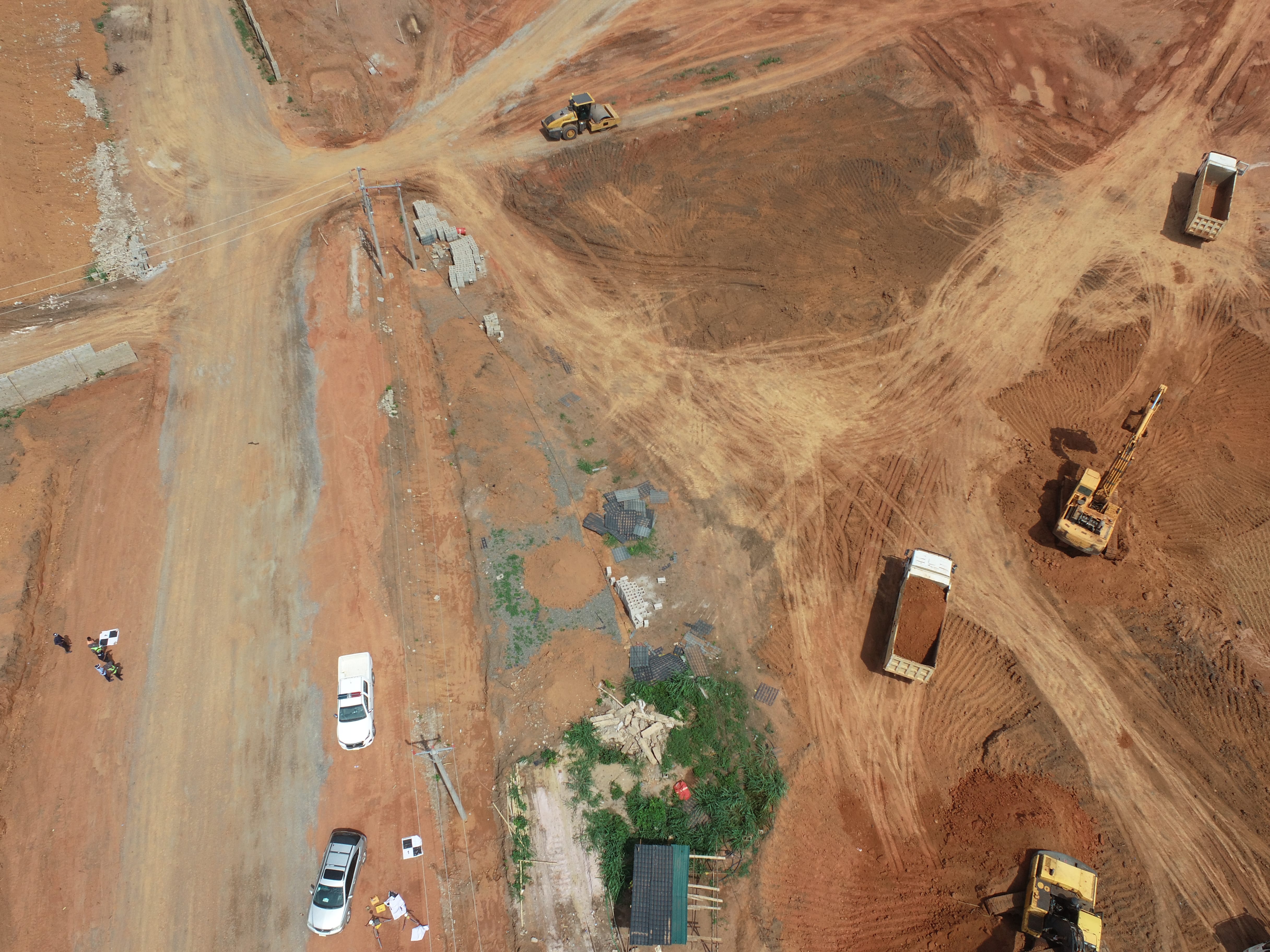
Aerial Survey & Mapping - Ogun State
Drone category, Drone operation and mapping, Geographic Information System (GIS) category, GIS and Remote sensing, Surveying
Thermal Drone Inspection - Enugu Solar Site
Drone category, Drone operation and mapping, GIS and Remote sensing, Surveying