Geospatial Data Analysis and Spatial Data Modeling
We analyze geospatial data to uncover patterns, relationships, and insights that support smarter decision-making.
Our Approach
What We Do

Spatial Pattern Analysis
Identify trends, relationships, and hotspots within spatial data for better understanding of geographic dynamics.

Predictive Modeling
Use spatial statistics and modeling techniques to forecast changes and simulate real-world scenarios.

Visualization & Reporting
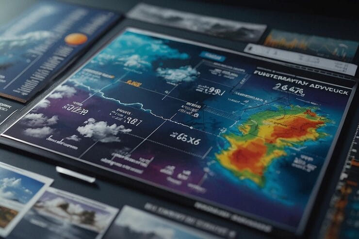
Present analytical results through clear maps, charts, and dashboards for informed decision-making.
We transform raw geospatial information into meaningful insights through advanced spatial analytics and modeling. Our solutions help clients understand spatial relationships, identify trends, and predict future outcomes with precision.
Benefits at a Glance
Our Impact
Analytical Reports & Models
We provide detailed reports, spatial analysis outputs, and predictive models that summarize findings, highlight trends, and support data-driven decision-making.
Visual Maps & Dashboards
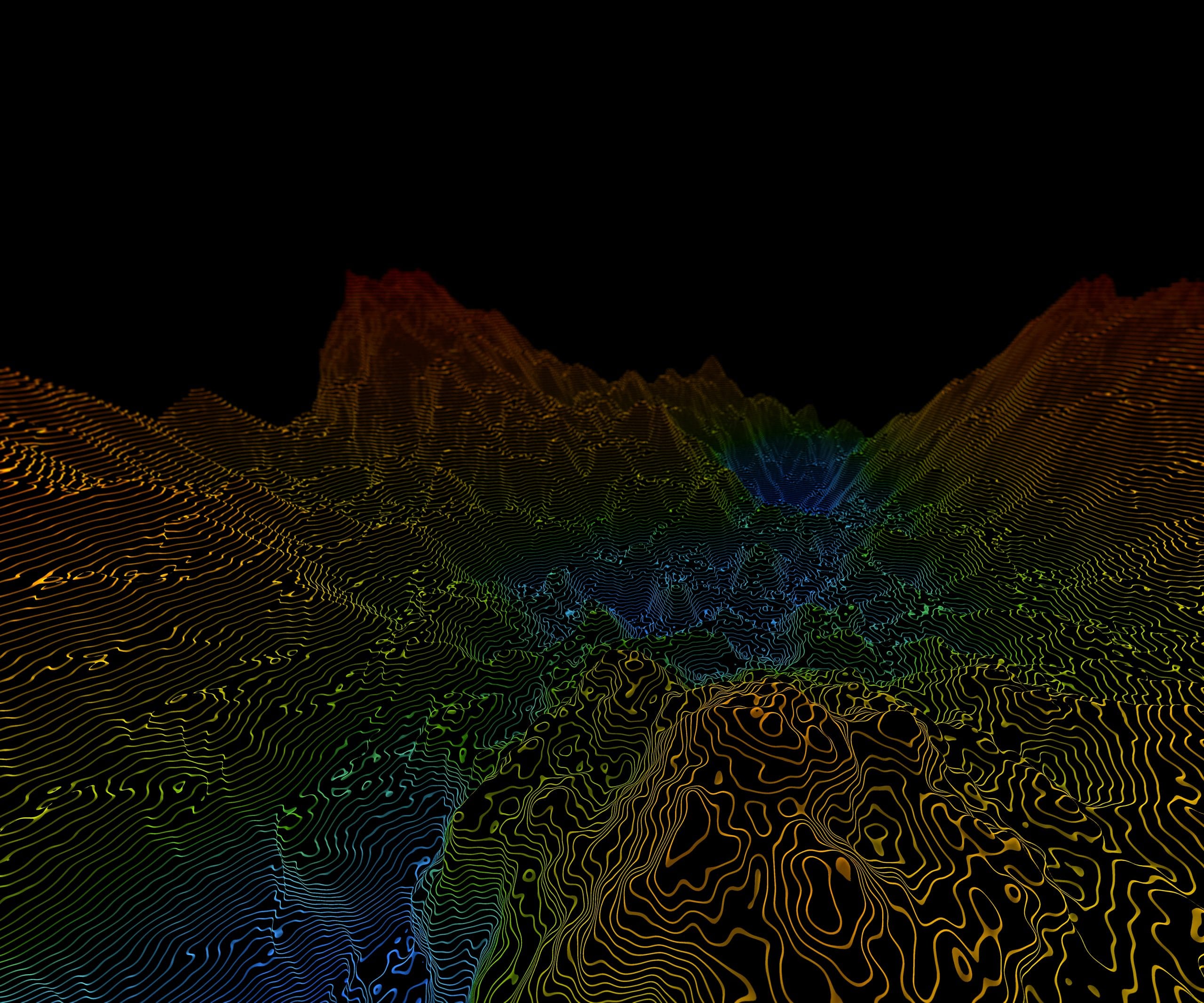
Our team delivers interactive maps, 3D visualizations, and web-based dashboards (upon request) designed to communicate complex spatial insights clearly and intuitively.
GIS Files & Documentation
All project files, datasets, and models are supplied in compatible GIS formats (ArcGIS, QGIS, or web-ready), complete with metadata and technical documentation for smooth integration and future reference.


