

Back
GEOINFOTECH SERVICES
Accuracy and data precision.Geoinfotech: A Global Leader in UAV Drone Inspection Services
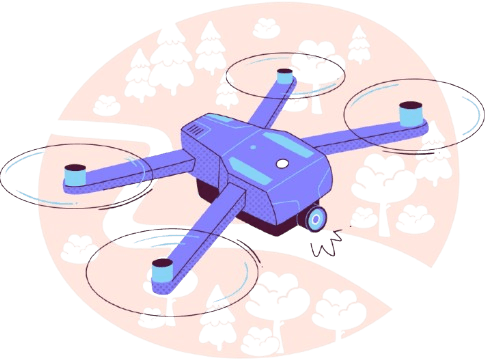
Drone technology is transforming industries in Nigeria by delivering safer, faster, and more cost-effective solutions for inspection and surveillance. UAV (Unmanned Aerial Vehicle) drone inspections provide high-resolution aerial imaging and advanced data analysis, enhancing accuracy in infrastructure assessment, environmental monitoring, and industrial operations. At the forefront of this innovation is GEOINFOTECH, a global leader in UAV drone inspection services.

Why UAV Drone Inspection Matters
Traditional inspection methods often involve high costs, safety risks, and logistical complexities. UAV drone technology offers a smarter, more efficient alternative with a range of benefits:
- Access to Hard-to-Reach Areas
Drones can safely inspect dangerous or hard-to-access locations without risking human lives. - High-Quality Imaging & Data Collection
Advanced sensors and cameras capture detailed visuals and analytics to support smarter decisions. - Time and Cost Efficiency
Rapid data collection and reduced manpower significantly lower operational costs and timelines. - Enhanced Safety
Minimizing human exposure in hazardous environments improves overall safety standards.
Our Specialized UAV Drone Inspection Services
At GEOINFOTECH, we offer specialized drone inspection services tailored to meet the needs of diverse industries worldwide:

Infrastructure Inspection
Detailed visual and structural inspections of bridges, towers, pipelines, and buildings. Early detection of structural issues to support proactive maintenance and avoid costly failures.

Agricultural Monitoring
Use of multispectral imaging to track crop health, detect diseases, and improve yield and land mapping and analytics to enable precision agriculture and sustainable farming.
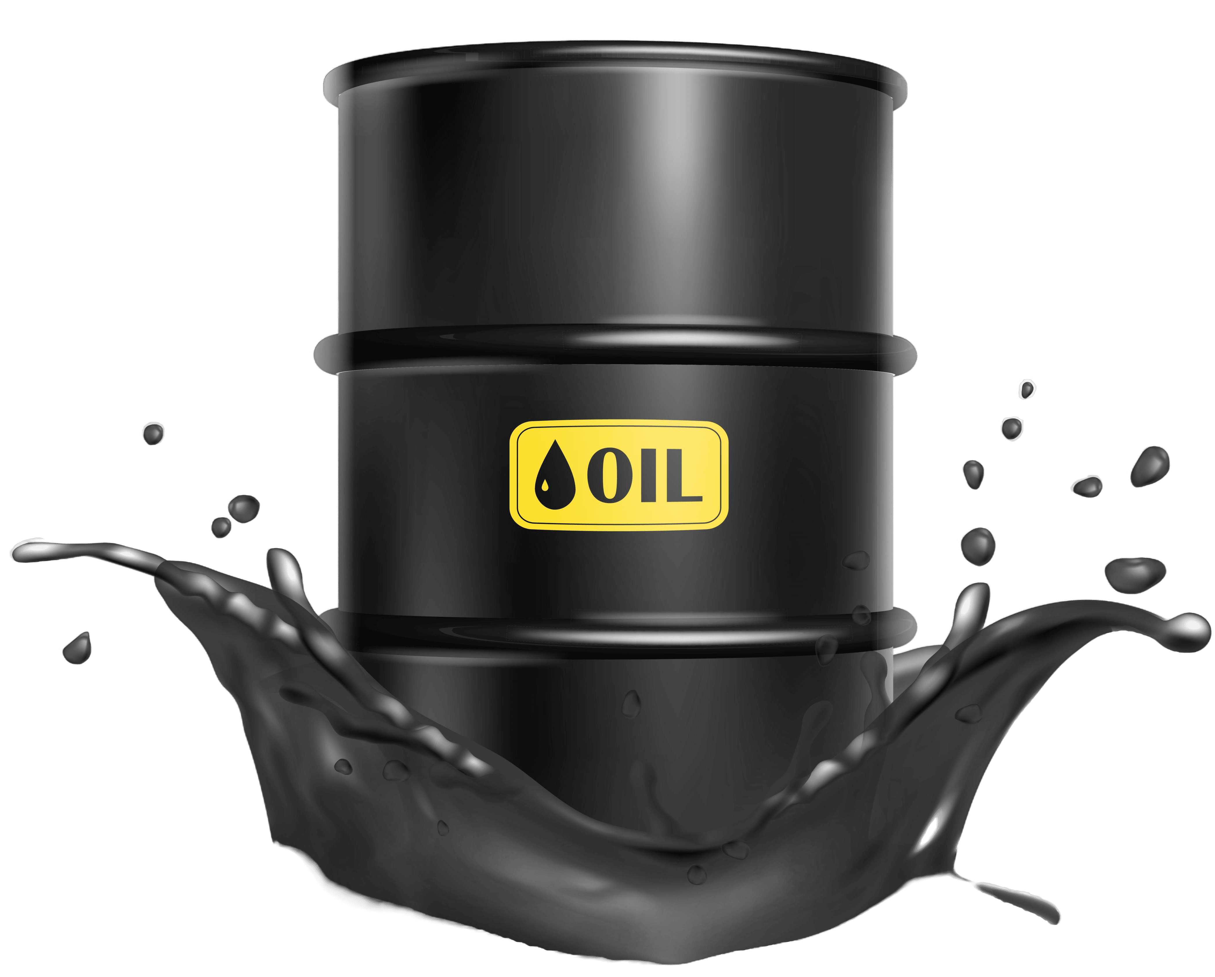
Oil & Gas Surveillance
Drone inspections of pipelines, refineries, and industrial assets for safety and compliance and detection of leaks, corrosion, and potential hazards before they escalate.
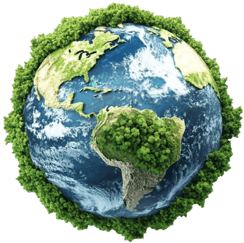
Environmental Assessment
Monitoring land use changes, water bodies, and natural habitats and conducting surveys that support environmental planning, and conservation.
The Future of Drone Inspection
As drone adoption accelerates across Nigeria, the applications of UAV inspections are rapidly expanding—driving smarter infrastructure, supporting clean energy initiatives, enabling urban development, and advancing environmental sustainability. GeoInfoTech stands at the forefront of this transformation, delivering innovative drone solutions that enhance performance, ensure safety, and improve operational efficiency across key sectors. Partner with GeoInfoTech to elevate your operations and harness the full potential of drone-powered intelligence in Nigeria’s evolving landscape. Learn more at geoinfotech.ng.