Geographic Information System (GIS) Services
Committed to on-time product delivery, accurate and precise data. Geographic Information System (GIS) Services

GIS
Geographic Information System Services
GIS transforms your industry by turning complex geographic data into actionable intelligence,
optimizing operations, and revealing new opportunities for growth.
This powerful tool integrates location data to enhance decision-making, improve efficiency, and
drive innovation in a variety of fields, including:


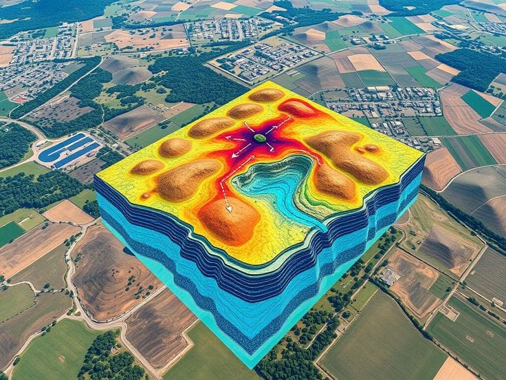
GIS Mapping and Visualization

Geocoding (Addressing) and Geotagging

Geodatabase Design


Web GIS


GIS Training and Consulting
Project
Featured GIS Service
Workflow
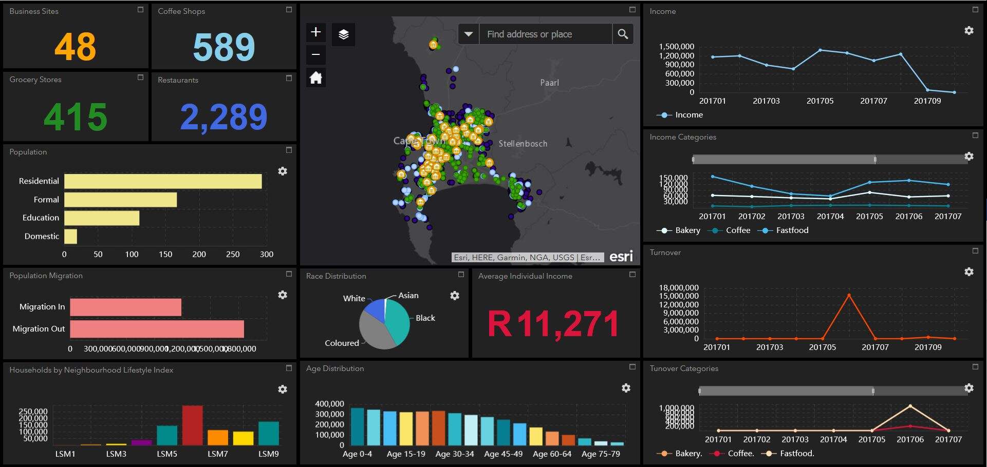
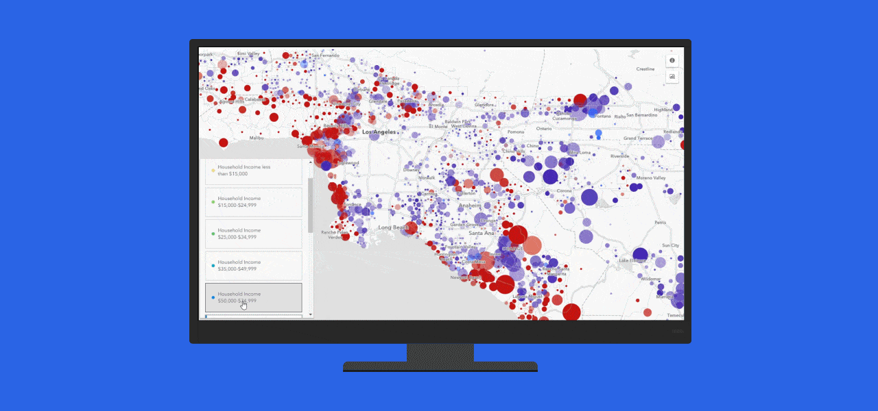
GIS Data Analysis and Mapping
At Geoinfotech we offer a wide range of tasks and applications related to managing, analyzing, and visualizing geospatial data. Geographic Information System Services
Application
Web Mapping
Welcome to a world where data meets geography, and insights are transformed into action. Our GIS services harness the true potential of geospatial information, revolutionizing the way businesses operate. With our expertise, you can gain a competitive edge, make smarter decisions, and drive success.

Capabilities
Training


WHAT WE OFFER
Our Portfolio
Check out our previous projects on GIS, Drone, Land Surveyor and Mapping Services in Nigeria

Drone Training for Corporate Security - Sahara Group
Drone category, Drone operation and mapping, Geographic Information System (GIS) category, GIS and Remote sensing, Organisation Training, Training and Workshop
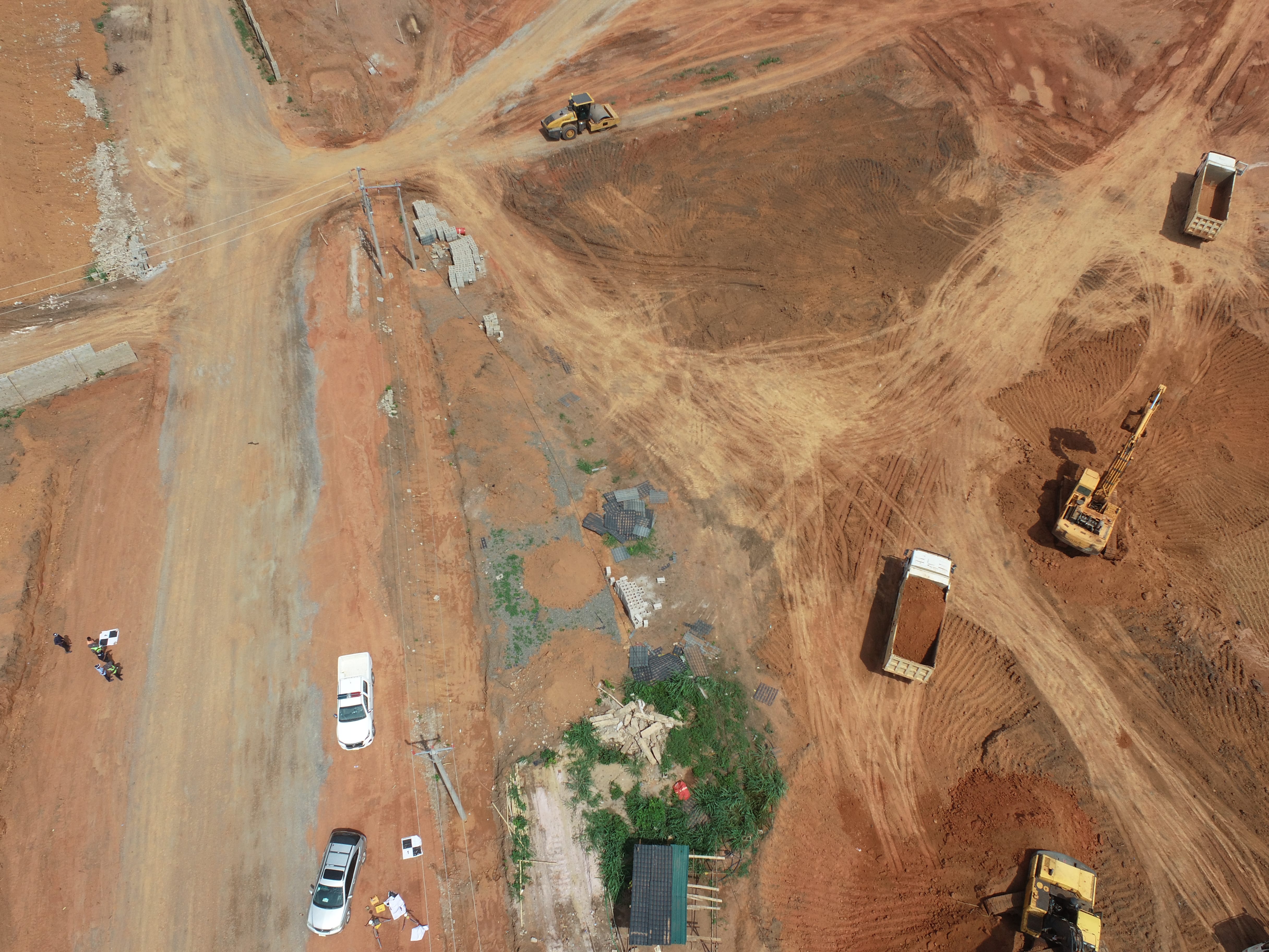
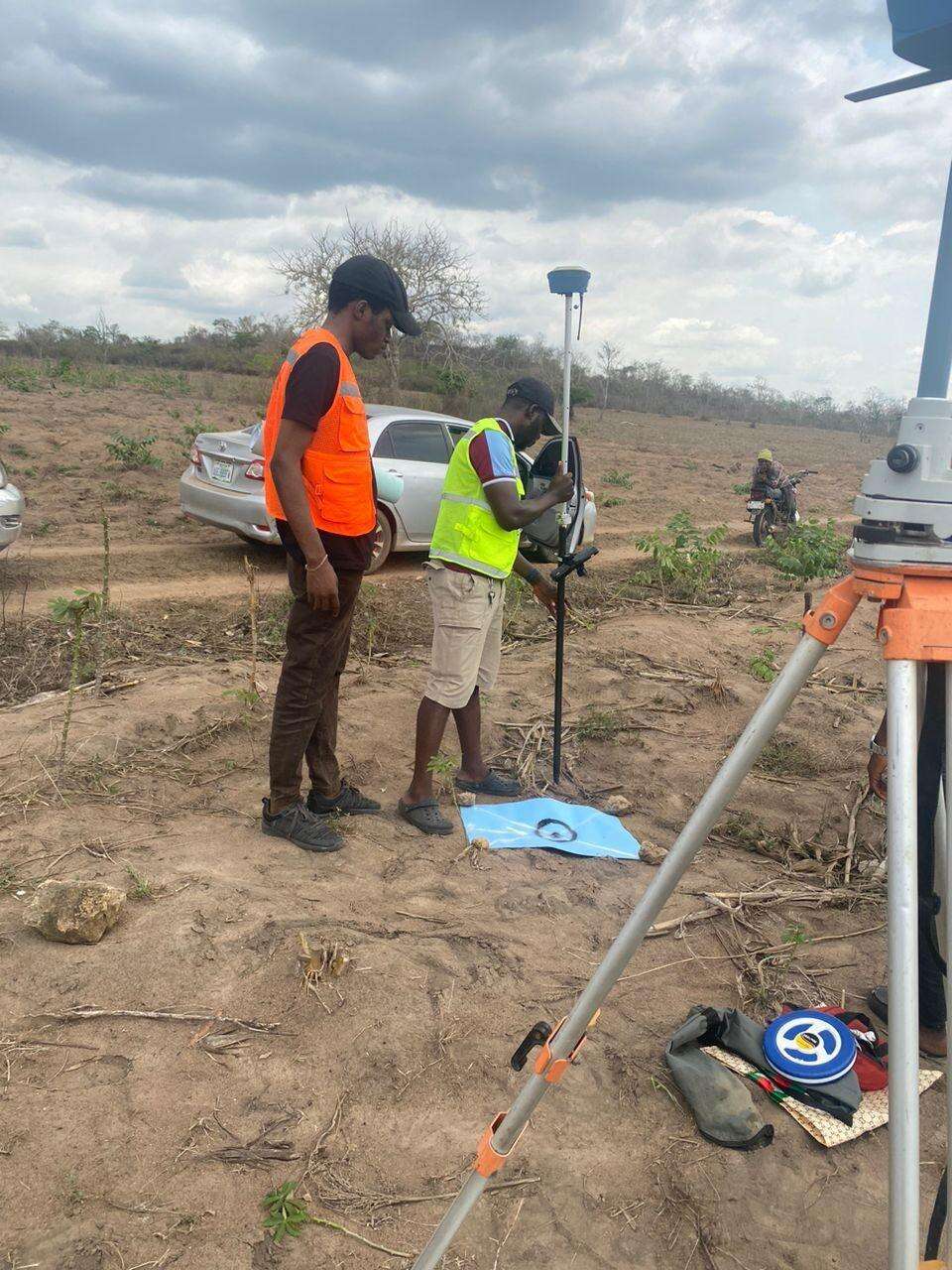
Aerial Survey & Mapping - Ogun State
Drone category, Drone operation and mapping, Geographic Information System (GIS) category, GIS and Remote sensing, Surveying
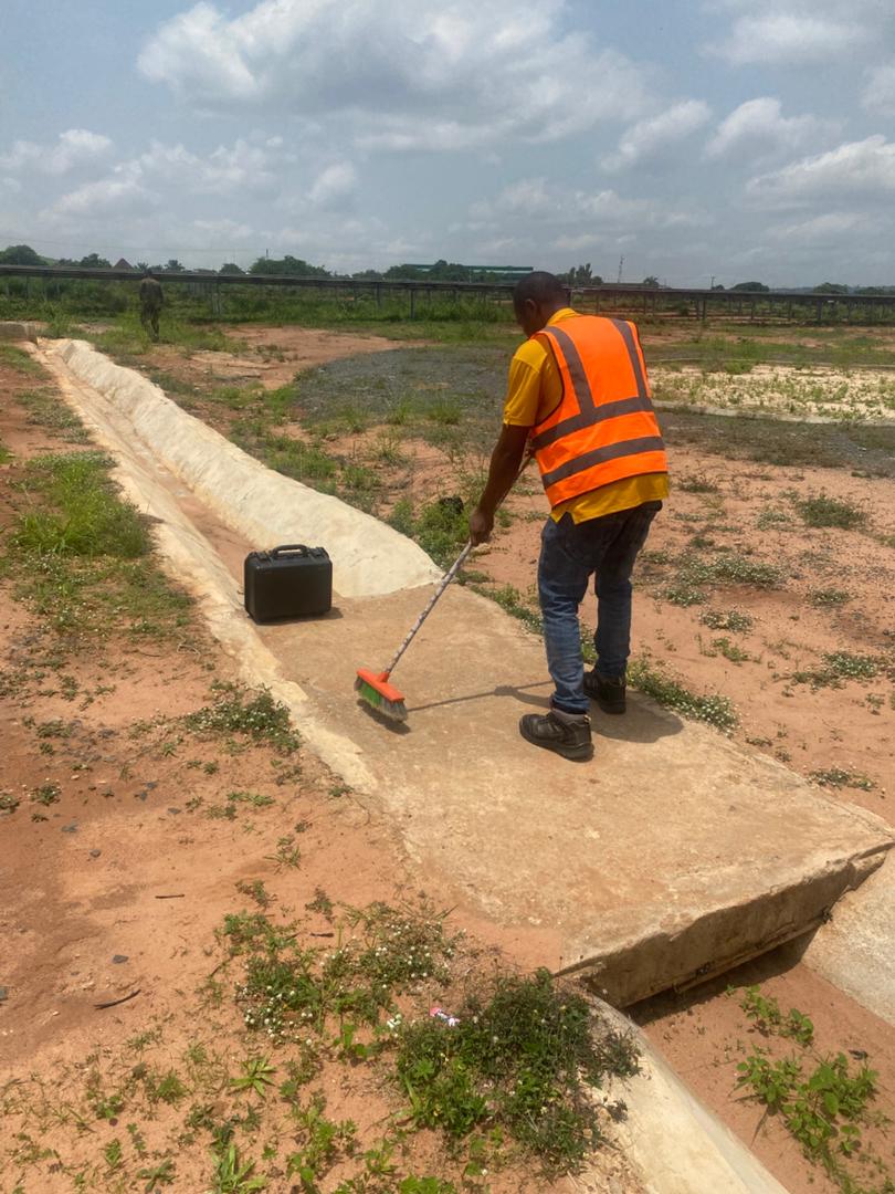
Thermal Drone Inspection - Enugu Solar Site
Drone category, Drone operation and mapping, GIS and Remote sensing, Surveying