Are Geospatial Experts Becoming Obsolete? What the Future Really Holds for Spatial Professionals...


YOU MAY ALSO LIKE...
Are Geospatial Experts Becoming Obsolete? What the Future Really Holds for Spatial Professionals...

When disaster strikes—whether it’s a hurricane, earthquake, or wildfire—every second counts....
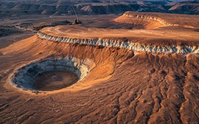
Discovering Hidden Treasures Beneath the Surface with Spatial Intelligence The quest for mineral...

In an era where location data has become central to decision-making, infrastructure planning, and...

In the world of Geographic Information Systems (GIS), geometry may be the star of the show—but...

A Summary of the Flooding Incident at Mokwa On May 29, 2024, a devastating flash flood...