We've all been there: relying on our smartphones to navigate to a new restaurant, find the...


YOU MAY ALSO LIKE...
We've all been there: relying on our smartphones to navigate to a new restaurant, find the...

In a nation as dynamic and geographically diverse as Nigeria, ensuring security across rural,...
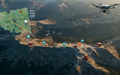
Using Spatial Intelligence to Save Lives in Real Time. In critical moments when disaster...

In a world overflowing with data and facing increasingly complex challenges — from climate change...
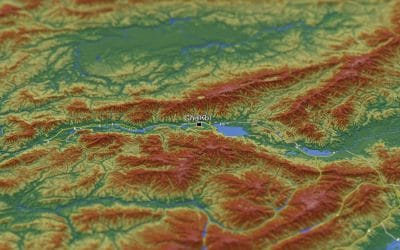
Raster data forms a core part of spatial analysis from satellite imagery to digital elevation...

In the world of Geographic Information Systems (GIS), ArcGIS has long been the industry giant —...