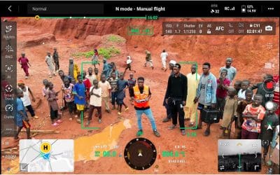
In a bid to address the devastating effects of the recent flooding in Mokwa, Niger State, Nigerian...


YOU MAY ALSO LIKE...
In a bid to address the devastating effects of the recent flooding in Mokwa, Niger State, Nigerian...
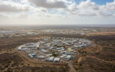
Smart cities are rapidly emerging as a transformative model for urban development, particularly...

Land surveying has always been a critical part of development in Nigeria. Whether it’s for real...

Transportation is the lifeblood of any economy — from the movement of goods across supply chains...

In the evolving landscape of global agriculture, optimizing productivity is a continuous pursuit,...

In May 2025, the town of Mokwa in Niger State, Nigeria, experienced one of the most catastrophic...