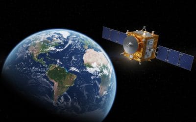
What is NISAR? NISAR (NASA-ISRO Synthetic Aperture Radar) is a groundbreaking Earth-observing...


YOU MAY ALSO LIKE...
What is NISAR? NISAR (NASA-ISRO Synthetic Aperture Radar) is a groundbreaking Earth-observing...

Geographic Information Systems (GIS) have become essential to how we understand places, people,...

Drones have become indispensable tools across industries, from capturing aerial imagery for GIS...

Efficient site supervision is the backbone of every successful construction project—especially in...

In an era where drones soar, satellites capture, and algorithms analyze at lightning speed,...
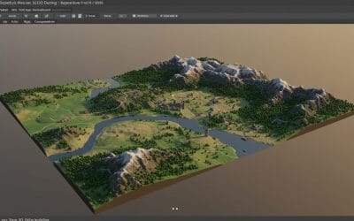
In the world of 3D graphics, animation, and digital design, Blender stands out as a powerful and...