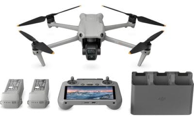
Where to Buy a DJI Matrice 4D Drone for Dock 3 in Lagos, Nigeria (2026 Guide) Looking for where to...


YOU MAY ALSO LIKE...
Where to Buy a DJI Matrice 4D Drone for Dock 3 in Lagos, Nigeria (2026 Guide) Looking for where to...
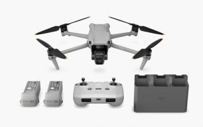
Where to Buy DJI Mavic 3 Pro Fly More Combo in Lagos, Nigeria (2026 Guide) Looking for where to...
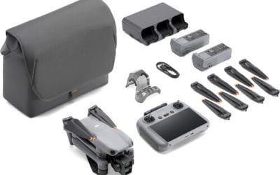
Where to Buy DJI Mavic 3 Pro Fly More Combo in Lagos, Nigeria (2026 Guide) Looking for where to...
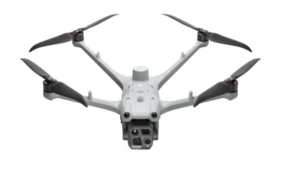
Where to Buy DJI Air 3 Fly More Combo + RC 2 in Lagos, Nigeria (2026 Guide) Looking for where to...
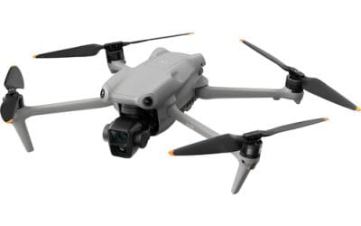
Where to Buy DJI Air 3S Fly More Combo + RC 2 in Lagos, Nigeria (2026 Guide) Looking for where to...
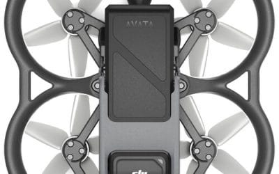
Where to Buy DJI Avata Drone Pro View Combo in Lagos, Nigeria (2026 Guide) Looking for where to...