In a nation as dynamic and geographically diverse as Nigeria, ensuring security across rural,...


YOU MAY ALSO LIKE...
In a nation as dynamic and geographically diverse as Nigeria, ensuring security across rural,...
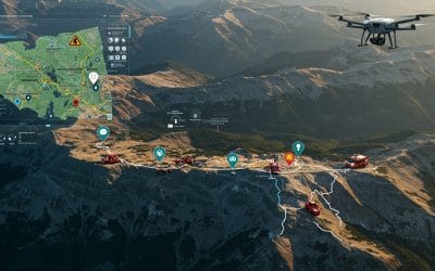
Using Spatial Intelligence to Save Lives in Real Time. In critical moments when disaster...

In a world overflowing with data and facing increasingly complex challenges — from climate change...
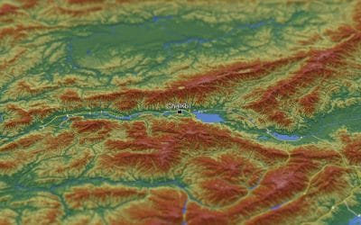
Raster data forms a core part of spatial analysis from satellite imagery to digital elevation...

In the world of Geographic Information Systems (GIS), ArcGIS has long been the industry giant —...
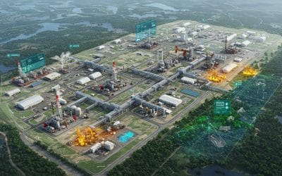
The oil, gas, and energy industries are central to global development—but they also pose...