Are you ready to unlock the synergy between software development and GIS workflows? Geoinfo...


YOU MAY ALSO LIKE...
Are you ready to unlock the synergy between software development and GIS workflows? Geoinfo...

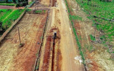
Land surveying is the scientific and systematic process of measuring and mapping the physical...
Introduction: Seeing Nigeria from a New Angle Have you ever noticed how looking at something from...

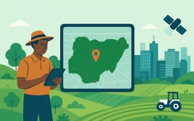
GIS in agriculture in Nigeria is transforming how farmers manage land, crops, and resources. By...
Accurate land records are the foundation of effective governance, property rights, and sustainable...

In the past, farming relied heavily on manual labour, observational experience, and...