CADASTRAL SURVEYS A cadastral survey is the foundation of all property rights and land...


YOU MAY ALSO LIKE...
CADASTRAL SURVEYS A cadastral survey is the foundation of all property rights and land...

Buying land in Nigeria is a big investment. Whether you’re planning to build a home, start a...
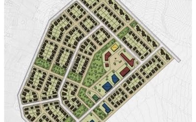
Building Lagos with Confidence A successful land development project starts with a flawless plan....

Buying land in Nigeria is one of the most important financial decisions you’ll ever make. But it’s...

In today’s world, information is more powerful when it’s tied to a location. That’s exactly what...

1. Introduction Surveying and mining are precision-driven industries where accuracy, efficiency,...