Cadastral Survey Services
Protect your property rights with accurate, legally binding boundary surveys. Our cadastral survey services deliver clear, precise, and officially recognized land demarcations essential for land ownership, development, and dispute resolution.

Why You Need a Cadastral Survey
A cadastral survey is more than a technical service—it's a safeguard for your land ownership. Whether you're a landowner, buyer, developer, or builder, our surveys ensure your property boundaries are clear, accurate, and legally documented.
Buying or Selling Land
Know exactly what you’re purchasing or selling to prevent future legal disputes and financial loss.
Building or Fencing
Construct safely within your legal boundary lines to avoid encroachment penalties or demolitions.
Land Subdivision
Divide land legally for sale, inheritance, or development in compliance with land use regulations.
Resolving Disputes
Use verified boundary data to resolve conflicts with neighbors or during legal proceedings.
Our Cadastral Surveying Solutions
We combine expert fieldwork, legal research, and cutting-edge surveying equipment to deliver comprehensive cadastral services that support land ownership, development, and registration processes.
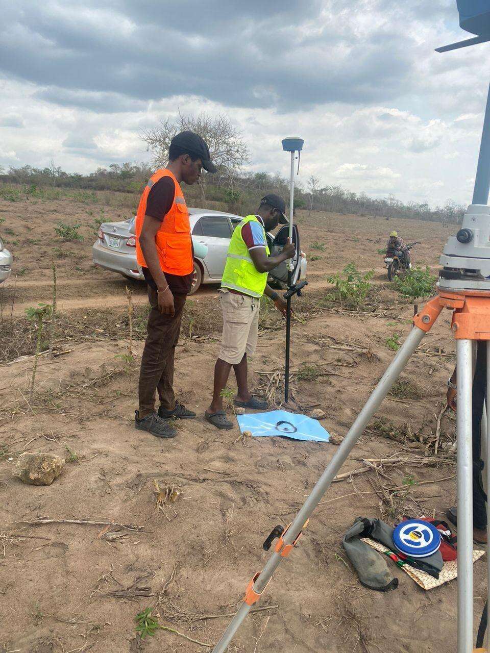
Boundary Identification Surveys
Locate and mark your exact property lines based on legal land records and field measurements.
Land Subdivision
Divide your property legally for family inheritance, sales, or commercial development projects.
Land Charting and Verification
Verify land titles and ensure your property aligns with registered cadastral data and official charts.
Encroachment Investigation
Identify unauthorized land use or boundary intrusions with legally defensible survey data.

WHAT WE OFFER
Our Portfolio
Check out our previous projects on GIS, Drone, Land Surveyor and Mapping Services in Nigeria

Drone Training for Corporate Security - Sahara Group
Drone category, Drone operation and mapping, Geographic Information System (GIS) category, GIS and Remote sensing, Organisation Training, Training and Workshop
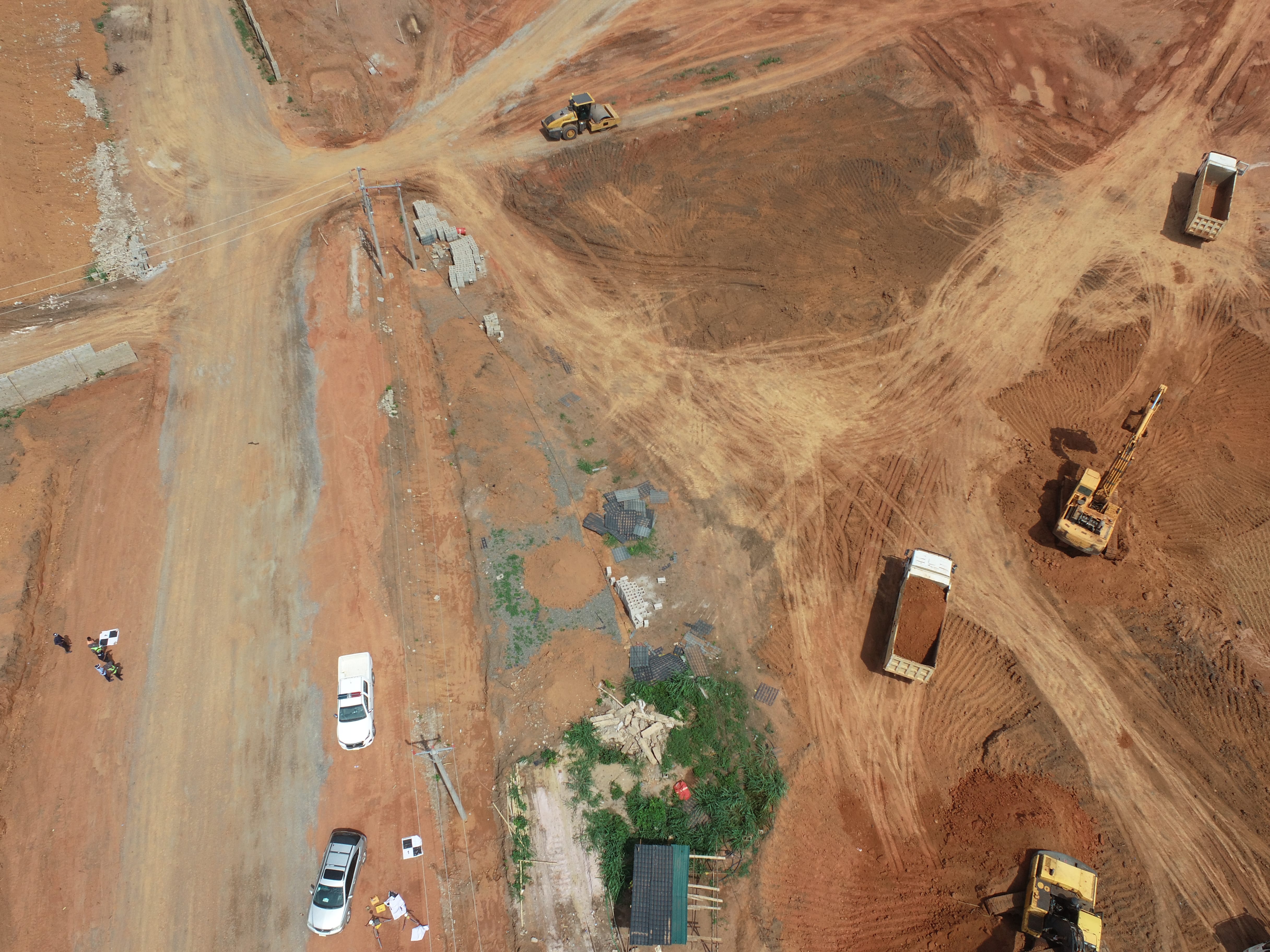
Aerial Survey & Mapping - Ogun State
Drone category, Drone operation and mapping, Geographic Information System (GIS) category, GIS and Remote sensing, Surveying
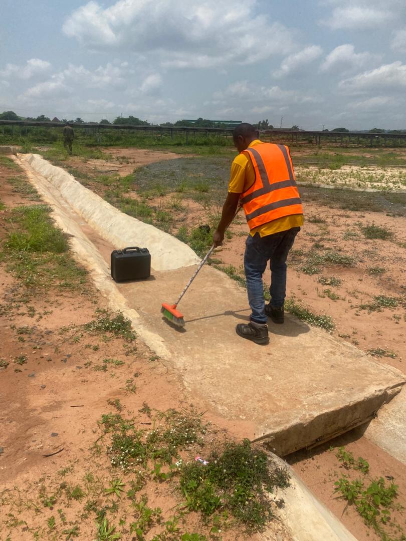
Thermal Drone Inspection - Enugu Solar Site
Drone category, Drone operation and mapping, GIS and Remote sensing, Surveying