GNSS & Survey Drone Equipment Hiring
Why tie up capital in equipment that evolves every year? Geoinfotech's hire service gives you instant access to the industry's most reliable GNSS Receivers and Survey Grade drones. Perfect for peak workloads, specific projects, or trying before you buy.
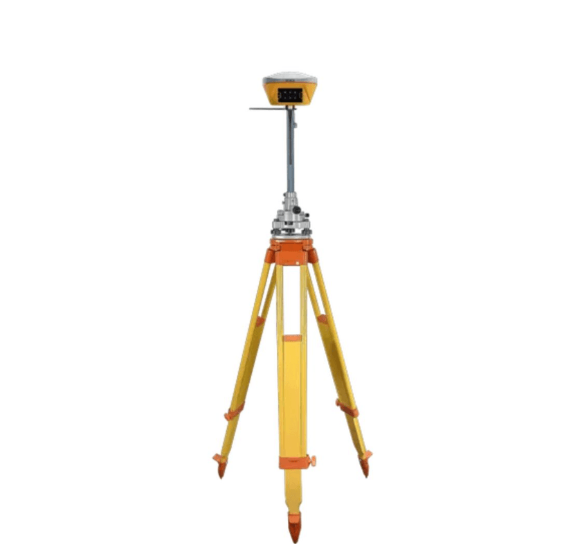

High-Precision GNSS Equipment for Hire
Get the precision you need, only when you need it. Our fleet of GNSS RTK systems is regularly calibrated and maintained to ensure flawless performance, helping you maximize accuracy and efficiency on every site.
Latest Model Rovers
Rent equipment from industry-leading brands like Trimble, Leica, and Topcon, ensuring you work with the best technology available.
Complete RTK Systems
Rent base and rover kits together for a full, ready-to-use RTK solution, including all necessary accessories and controllers.
Sub-Centimeter Accuracy
Trust your data for the most demanding tasks, from construction staking and boundary surveys to detailed topographic work.
Full Technical Support
We provide full setup training and 24/7 technical backup so your project never stops due to equipment issues.
Why Choose Geoinfotech for Equipment Hiring
You're not just renting gear; you're gaining a partner. We offer flexible terms, cost-effective solutions, and a commitment to keeping you current with the latest high-precision hardware.
Cost-Effective & Flexible
Eliminate large upfront costs, maintenance fees, and the headache of rapid technology obsolescence. Rent daily, weekly, or monthly.
Always Current Technology
Our fleet is constantly updated with the latest hardware and software, ensuring you have a competitive edge on every job.
Ideal for Peak Projects
Perfect for handling temporary peak workloads, securing equipment for specific short-term contracts, or testing new technology.
Nationwide Delivery
We ensure fast delivery and retrieval, getting the high-precision GNSS equipment to your site, wherever you are.

WHAT WE OFFER
Our Portfolio
Check out our previous projects on GIS, Drone, Land Surveyor and Mapping Services in Nigeria

Drone Training for Corporate Security - Sahara Group
Drone category, Drone operation and mapping, Geographic Information System (GIS) category, GIS and Remote sensing, Organisation Training, Training and Workshop
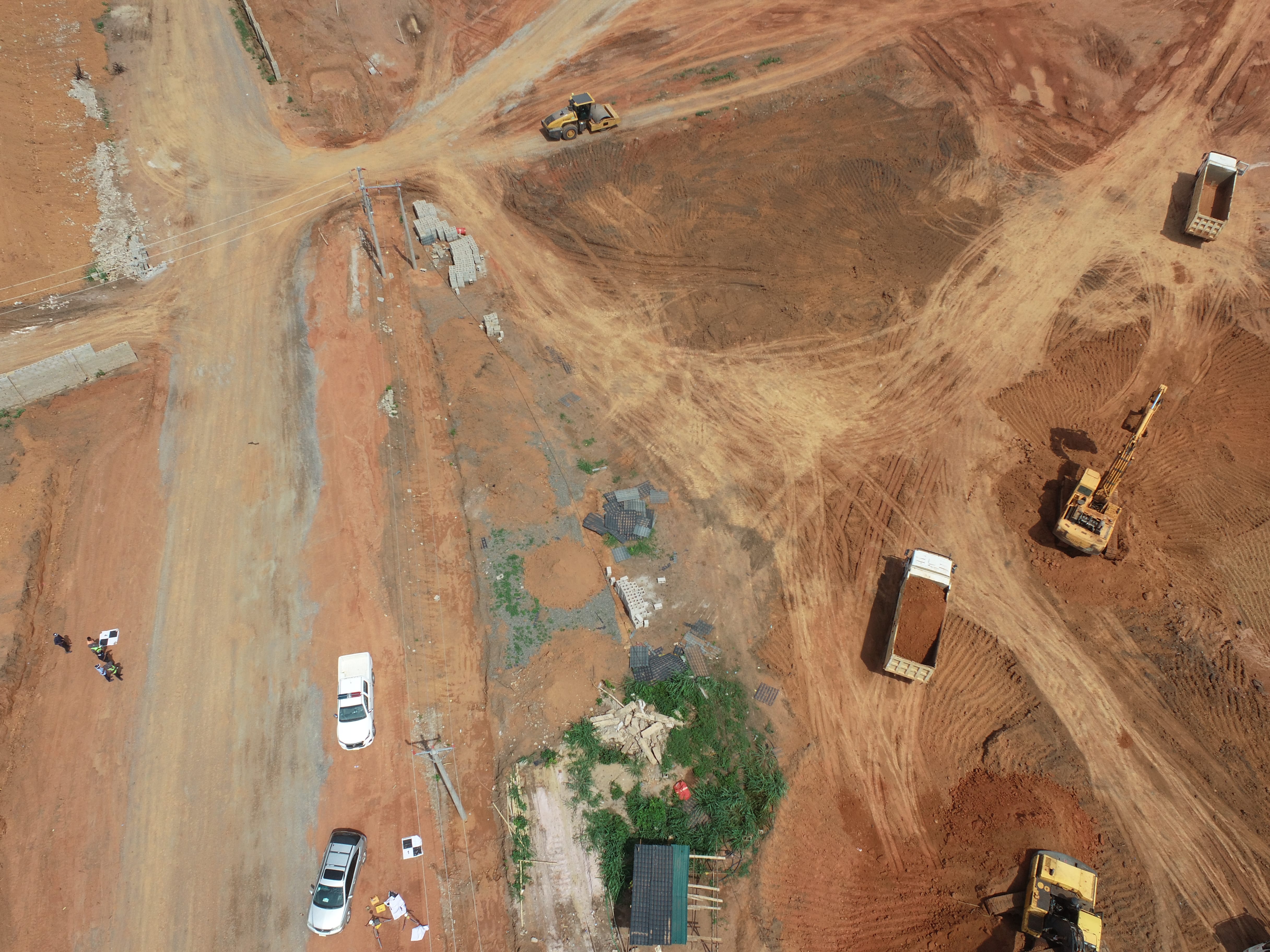
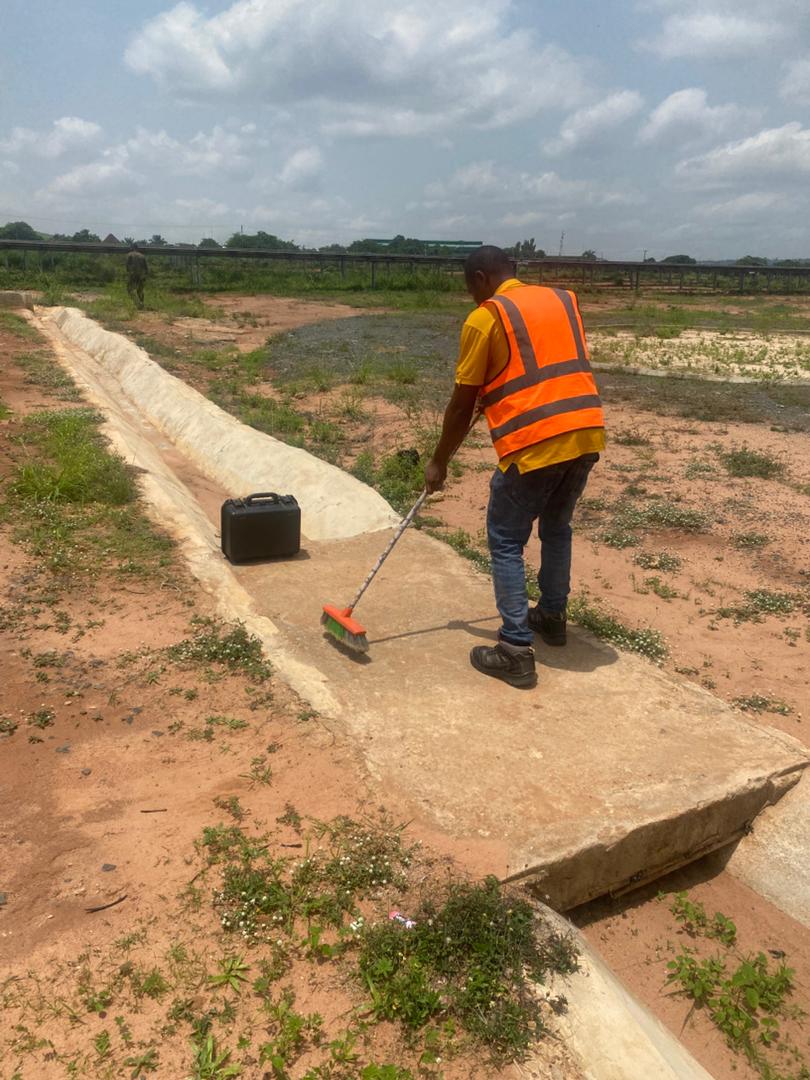
Aerial Survey & Mapping - Ogun State
Drone category, Drone operation and mapping, Geographic Information System (GIS) category, GIS and Remote sensing, Surveying
Thermal Drone Inspection - Enugu Solar Site
Drone category, Drone operation and mapping, GIS and Remote sensing, Surveying