Easement Regulatory Surveys: Project Certainty Starts Here
Don't let hidden property rights derail your development. Before you break ground on a new construction, subdivide land, or develop a commercial site, gaining legal certainty about what lies on and around your property is non-negotiable. An Easement Regulatory Survey from Geoinfotech is your essential due diligence, meticulously defining the legal rights that grant others specific use of a portion of your land.


Why An Easement Survey Is Crucial
An Easement Regulatory Survey goes beyond a standard boundary survey. It is a detailed, high-accuracy mapping process that specifically locates, maps, and documents all recorded easements affecting a property. Ignoring this step can lead to severe, costly consequences:
Permit Denials & Project Delays
Municipalities require proof of compliance with all recorded easements. Non-compliance leads to immediate permit refusal and costly redesigns.
Costly Litigation
Building on an easement can trigger legal battles with utility companies, local government, or neighboring property owners.
Forced Demolition
Courts can legally require the demolition or removal of any structure that encroaches upon a legally documented easement.
Investment Protection
Provides the peace of mind and certified documentation needed to protect your financial investment and maintain project integrity.
Key Components of Our Certified Easement Survey Process
Our licensed surveyors at Geoinfotech follow a rigorous, multi-step process to deliver a comprehensive, certified survey plat that serves as a critical legal and planning document for your team.
Meticulous Title Research
We thoroughly examine public records, deeds, subdivision plats, and title reports to identify the legal basis and scope of every recorded easement.
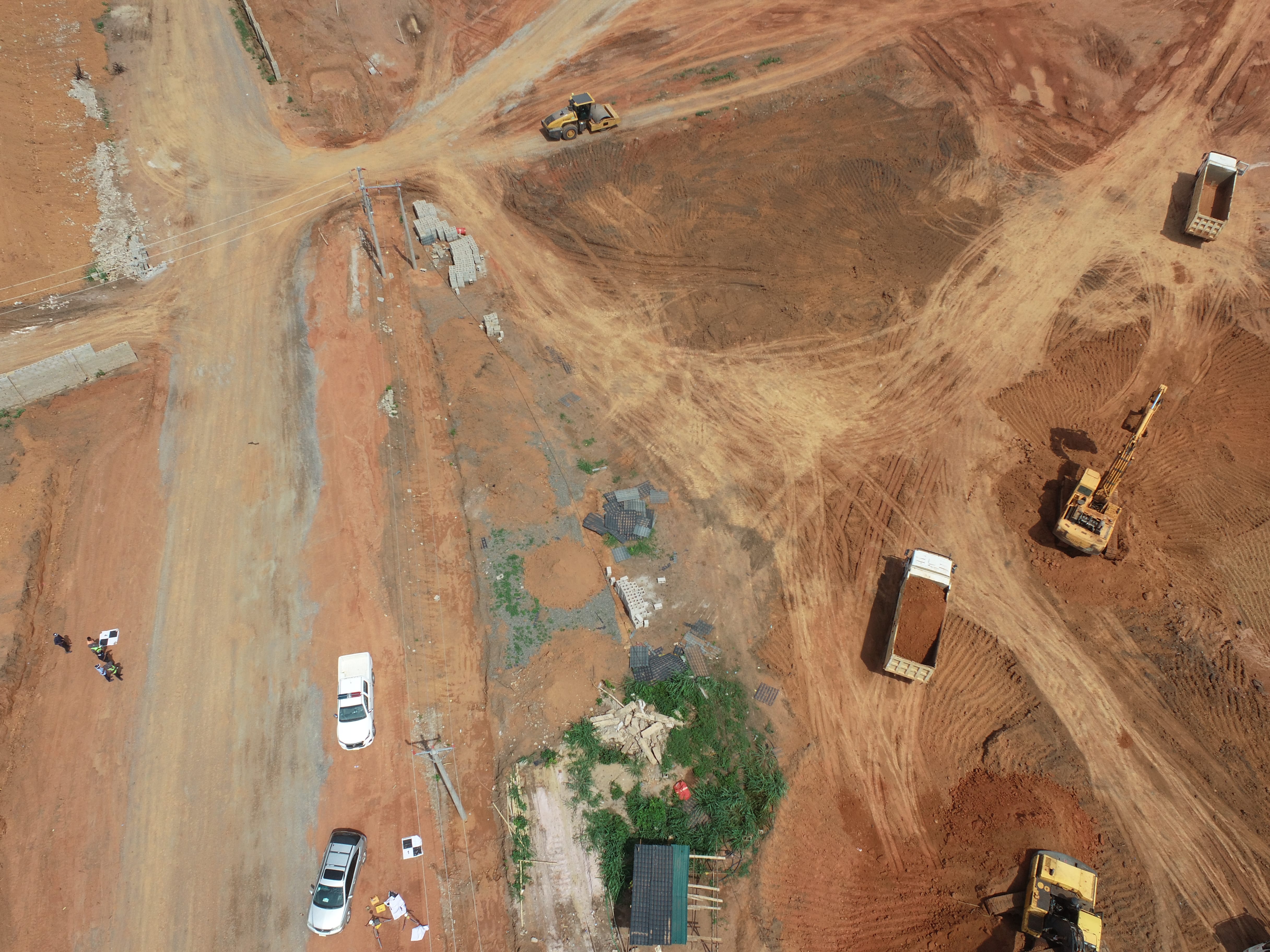
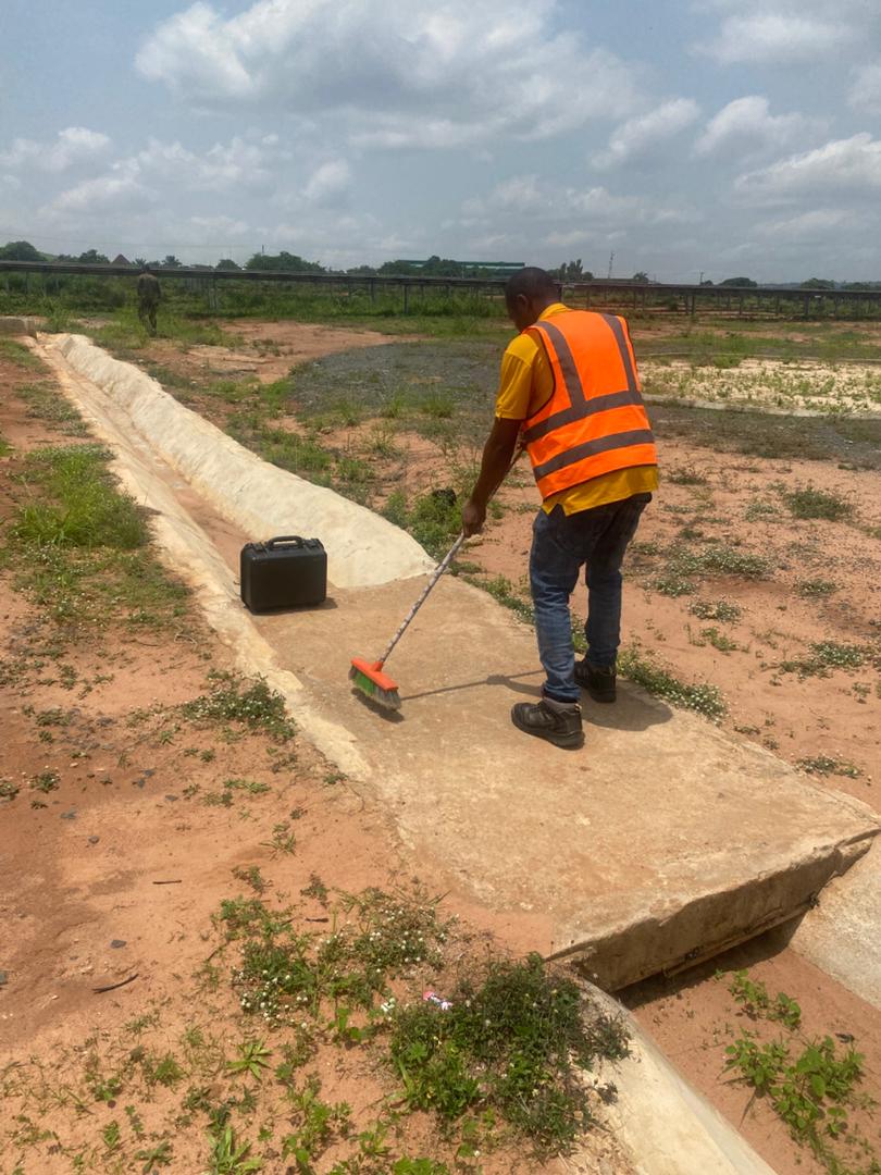
Precision Field Investigation
Our team physically locates and records evidence of easements, including utility lines, manholes, pipelines, and other infrastructure, to verify documentation.
Expert Analysis and Mapping
Collected data is analyzed to determine the precise legal impact and extent of each easement, illustrating its location, width, and setback clearly on the plat.
Comprehensive Certification
You receive a legally certified survey plat, an essential document for architects, engineers, real estate attorneys, and local planning departments.

WHAT WE OFFER
Our Portfolio
Check out our previous projects on GIS, Drone, Land Surveyor and Mapping Services in Nigeria

Drone Training for Corporate Security - Sahara Group
Drone category, Drone operation and mapping, Geographic Information System (GIS) category, GIS and Remote sensing, Organisation Training, Training and Workshop
Aerial Survey & Mapping - Ogun State
Drone category, Drone operation and mapping, Geographic Information System (GIS) category, GIS and Remote sensing, Surveying
Thermal Drone Inspection - Enugu Solar Site
Drone category, Drone operation and mapping, GIS and Remote sensing, Surveying