Geodetic Control Surveys: The Foundation of Precision
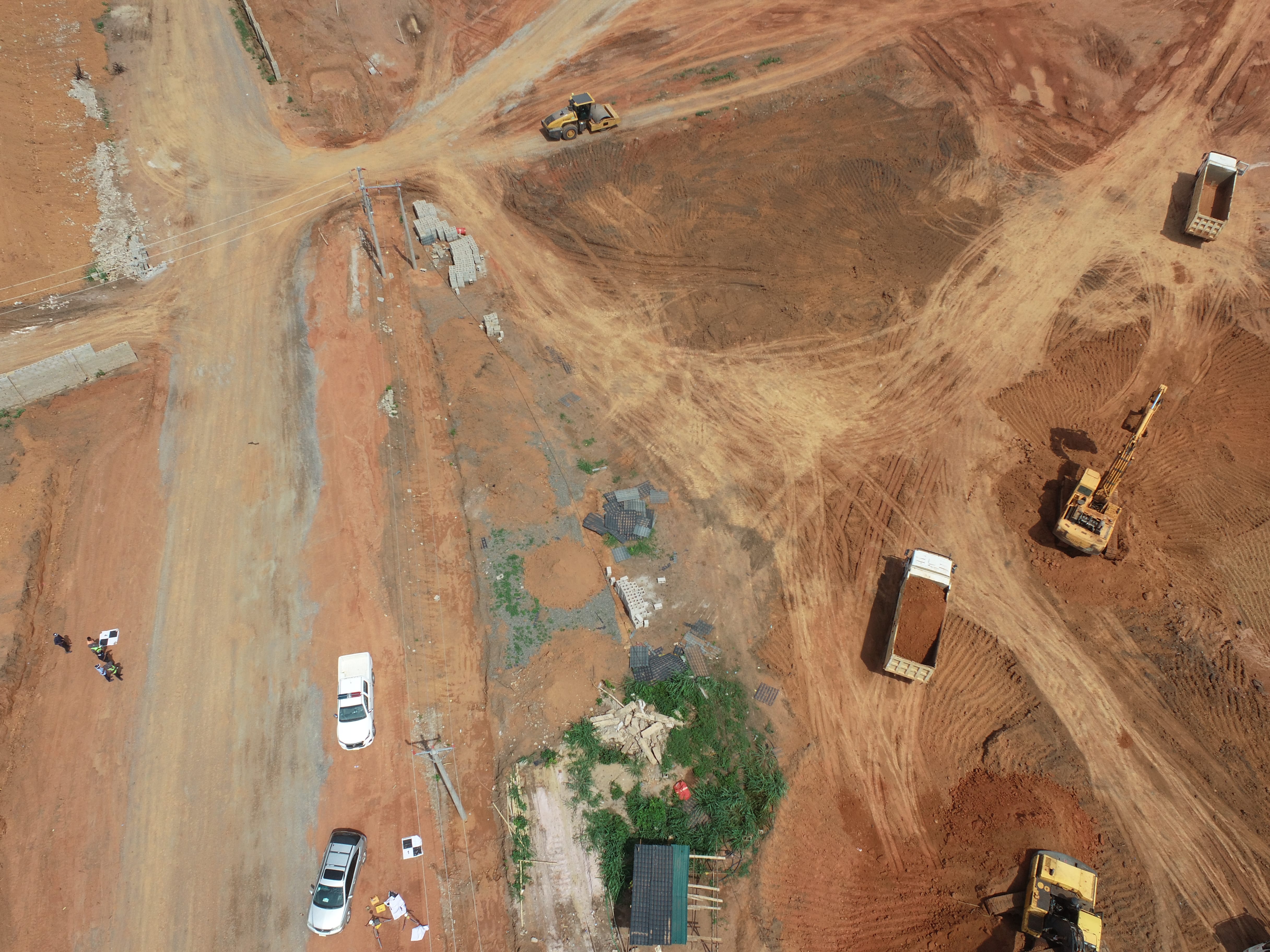
Every modern mapping, construction, and development project relies on precise location data. Geoinfotech's Geodetic Control Surveys are the critical first step. We establish highly accurate, real-world coordinates (control points) across your project site, which become the non-negotiable truth for all subsequent work.


Why Ground Control is Critical for Project Integrity
Don't Let Your Project Float on Guesswork. Without accurate ground control, even advanced technology can lead to costly misalignments and rework. Our Geodetic survey services provide certainty from the start, serving Construction, Engineering, and Drone Mapping industries.
Ensure Absolute Accuracy
Transform raw GNSS static data into implementable, high-precision coordinates for all stakeholders.
Guarantee Project Integrity
Ensure all project elements are constructed exactly where they are designed to be.
Save Time and Money
Prevent expensive mistakes and change orders by getting the foundational control right initially.
Seamless Integration
Our control networks provide the common framework that perfectly aligns all engineers, architects, and surveyors.
Our Comprehensive Geodetic Survey Services
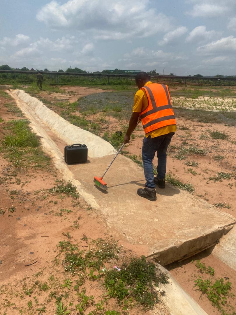
We provide comprehensive ground control solutions using cutting-edge GNSS (GPS) and Total Station technology to establish your project's reliable framework.
Control Point Establishment
Precisely marking and surveying control points using GNSS and Total Station technology.
Aerial and Drone Survey Support
Providing the ground truth for photogrammetry and LiDAR data collection to ensure map accuracy.
Construction Layout Surveys
Translating design plans into precise points on the ground for excavation and construction.
Topographic and Boundary Surveys
Creating accurate maps that define the lay of the land and legally establish property lines.
Monitoring and Deformation Surveys
Tracking minute movements of large structures or landmasses over time for safety and analysis.

WHAT WE OFFER
Our Portfolio
Check out our previous projects on GIS, Drone, Land Surveyor and Mapping Services in Nigeria

Drone Training for Corporate Security - Sahara Group
Drone category, Drone operation and mapping, Geographic Information System (GIS) category, GIS and Remote sensing, Organisation Training, Training and Workshop
Aerial Survey & Mapping - Ogun State
Drone category, Drone operation and mapping, Geographic Information System (GIS) category, GIS and Remote sensing, Surveying
Thermal Drone Inspection - Enugu Solar Site
Drone category, Drone operation and mapping, GIS and Remote sensing, Surveying