Engineering & Construction Surveys
We bring designs to life with precise surveys that guide construction, ensure safety, and verify compliance. Serving as the link between architects and builders, we make accuracy the foundation of every project.


Why Accurate Surveys Are Non-Negotiable
Accurate surveys eliminate guesswork. From foundations to finishing, precision at every stage ensures your project stays on time, on budget, and safe for everyone involved.
Prevent Costly Errors
Eliminate rework and budget overruns caused by inaccurate layout and misalignment with design plans.
Ensure Safety
Mitigate risk by ensuring structures are built on stable, properly positioned foundations with verified elevation and location data.
Maintain Schedule
Keep your construction schedule on track with timely, reliable surveying data that supports smooth workflow and informed decision-making.
Guarantee Compliance
Verify that your construction aligns with local regulations and engineering design specifications to avoid penalties and redesigns.
Our Surveying Services
We offer expert surveying solutions for every phase of your construction project.
Topographic Surveys
Map land features, elevations, and utilities to support design and planning.
Boundary Surveys
Define exact property lines to prevent disputes and ensure legal compliance.
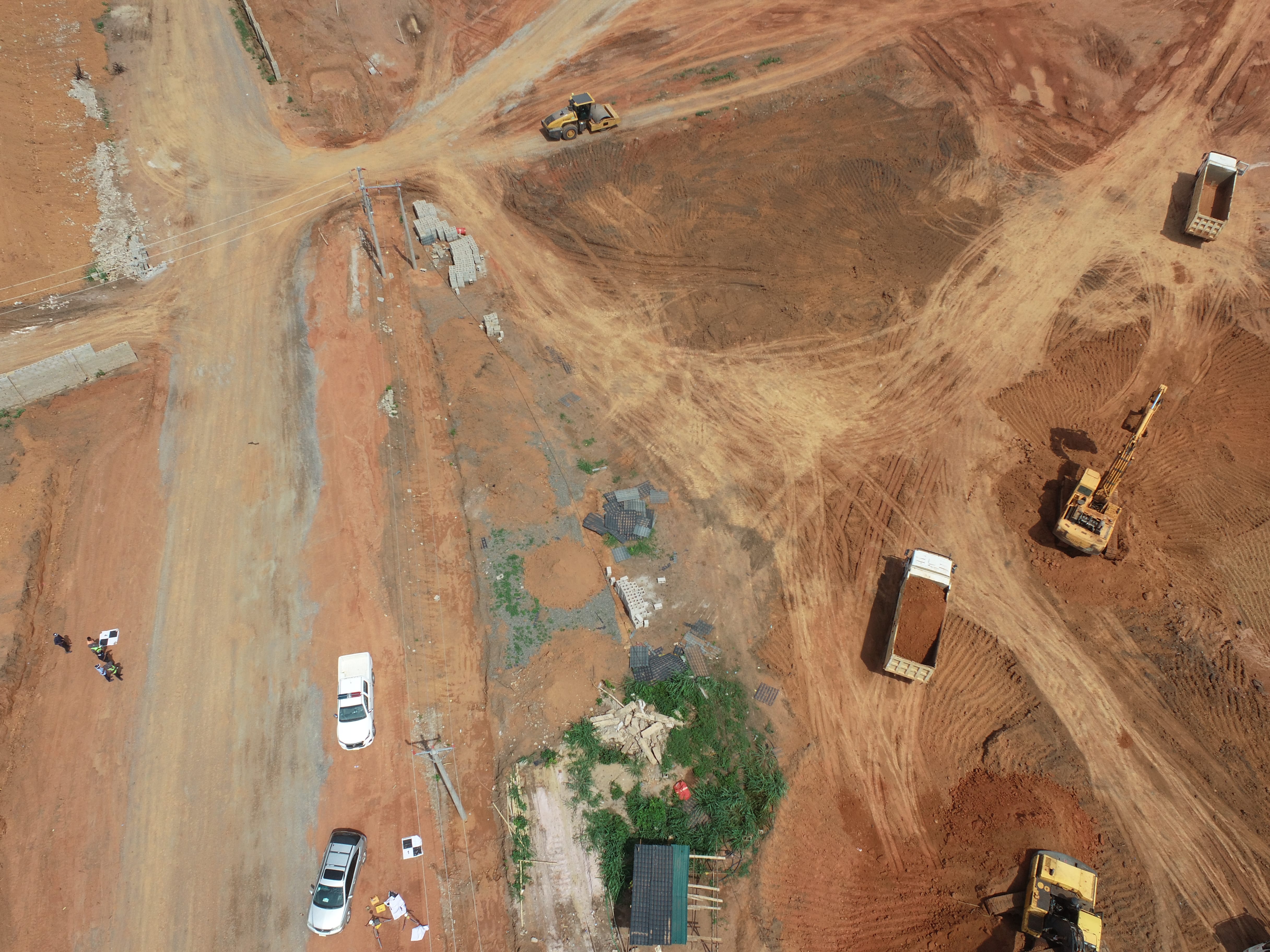
Construction Staking
Mark precise locations for foundations, utilities, and infrastructure.
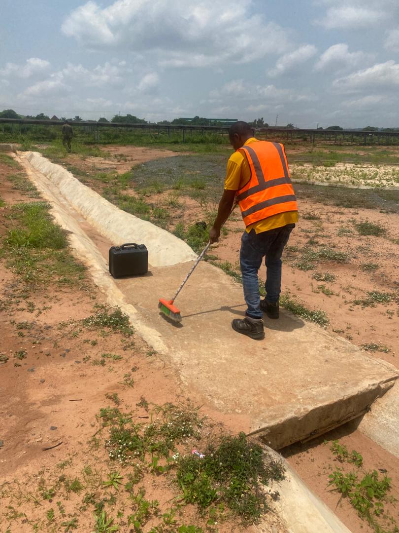
As-Built & Monitoring
Capture final build data and monitor structural movement over time.

WHAT WE OFFER
Our Portfolio
Check out our previous projects on GIS, Drone, Land Surveyor and Mapping Services in Nigeria

Drone Training for Corporate Security - Sahara Group
Drone category, Drone operation and mapping, Geographic Information System (GIS) category, GIS and Remote sensing, Organisation Training, Training and Workshop
Aerial Survey & Mapping - Ogun State
Drone category, Drone operation and mapping, Geographic Information System (GIS) category, GIS and Remote sensing, Surveying
Thermal Drone Inspection - Enugu Solar Site
Drone category, Drone operation and mapping, GIS and Remote sensing, Surveying