Layout Subdivision Drafting Services
Convert your survey data and design ideas into precise, compliant, and ready-to-build subdivision plans. Our CAD experts provide the accuracy and speed your project needs to move forward with confidence.
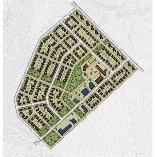
Precision Planning for Flawless Development.
>We specialize in translating conceptual designs and raw survey data into legally compliant, technically sound, and visually clear subdivision layout plans. Whether it’s a residential, commercial, or industrial project, we ensure every lot, road, and easement is accurately represented and ready for approval.
Speed and Efficiency
Accelerate your development timeline with fast, high-quality CAD drafting tailored to your specifications.
Pinpoint Accuracy
Avoid costly mistakes with plans that strictly follow survey measurements and legal boundary constraints.
Regulatory Compliance
Ensure your plans meet all local planning authority requirements, streamlining approval and permitting.
Seamless CAD Integration
Receive clean DWG files that integrate effortlessly with engineering and architectural workflows.
Build Smarter From the Ground Up
Our Layout Subdivision service provides the foundational CAD work that helps developers, planners, and architects make informed decisions. We don’t just draw; we engineer layouts that contribute to functional, sustainable, and attractive communities.
Accurate Area Calculations
Generate precise lot and road measurements to support feasibility studies and project budgeting.
Enhanced Decision-Making
Empower your team with data-backed layout plans that support smart, early-stage design choices.
Optimized Land Use
Design layouts that maximize usability, meet zoning standards, and increase land value.
Professional Presentation
Present your project with detailed, client-ready drawings that impress stakeholders and regulators alike.

WHAT WE OFFER
Our Portfolio
Check out our previous projects on GIS, Drone, Land Surveyor and Mapping Services in Nigeria

Drone Training for Corporate Security - Sahara Group
Drone category, Drone operation and mapping, Geographic Information System (GIS) category, GIS and Remote sensing, Organisation Training, Training and Workshop
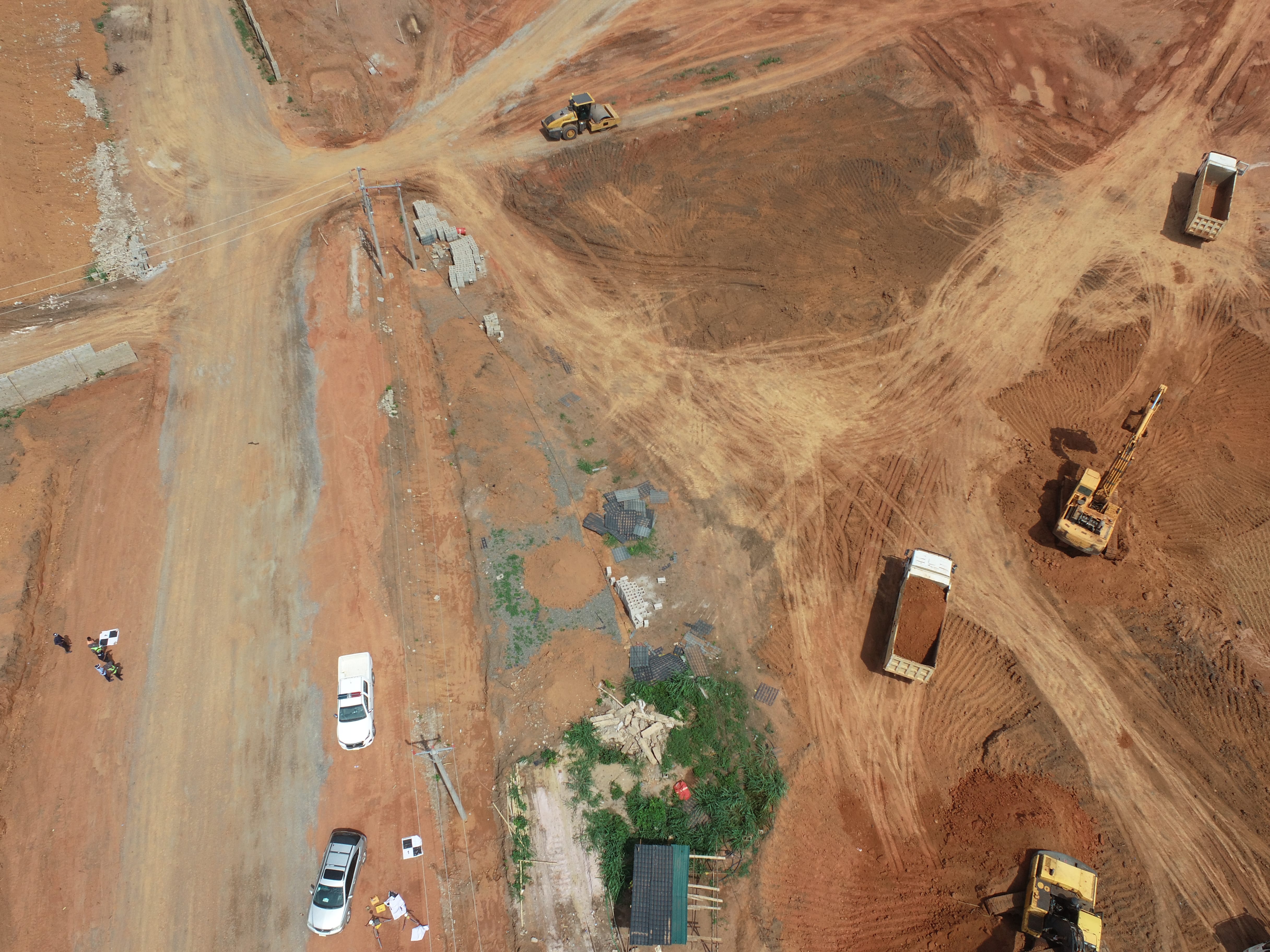
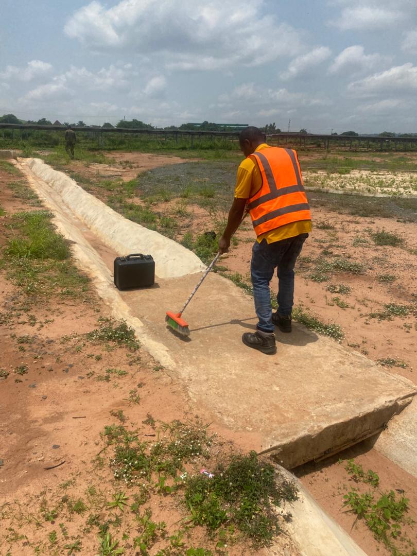
Aerial Survey & Mapping - Ogun State
Drone category, Drone operation and mapping, Geographic Information System (GIS) category, GIS and Remote sensing, Surveying
Thermal Drone Inspection - Enugu Solar Site
Drone category, Drone operation and mapping, GIS and Remote sensing, Surveying