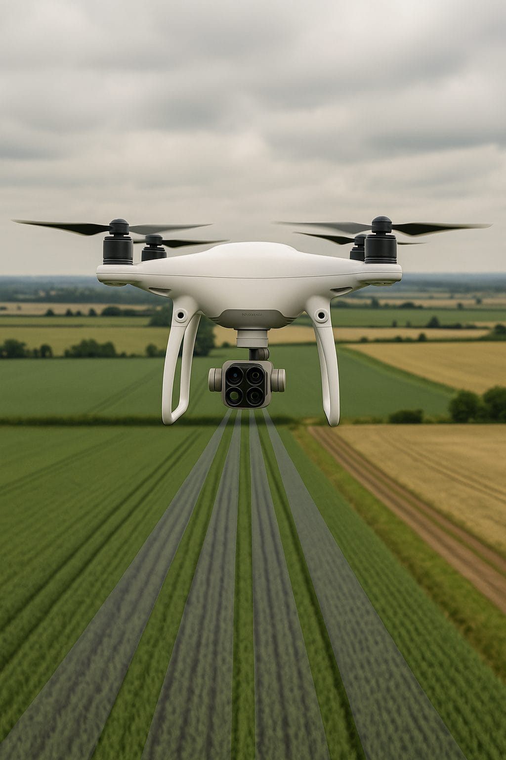
What is Multispectral Drone Technology?
Multispectral drone capture images across multiple wavelengths, providing better insight invisible for the human eye
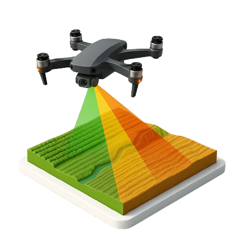
Agriculture
Crop monitoring, detecting disease and optimizing irrigation
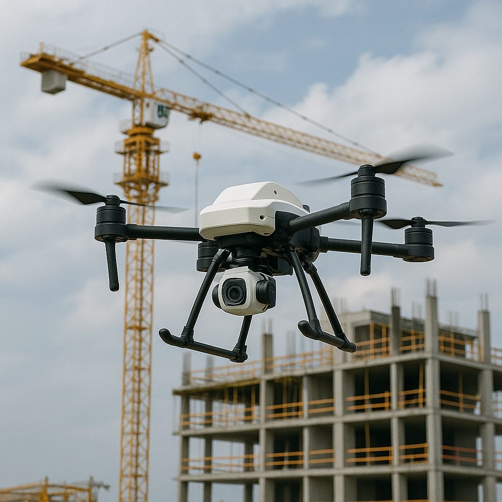
Infrastructure
Evaluating structural integrity and detecting material defects.
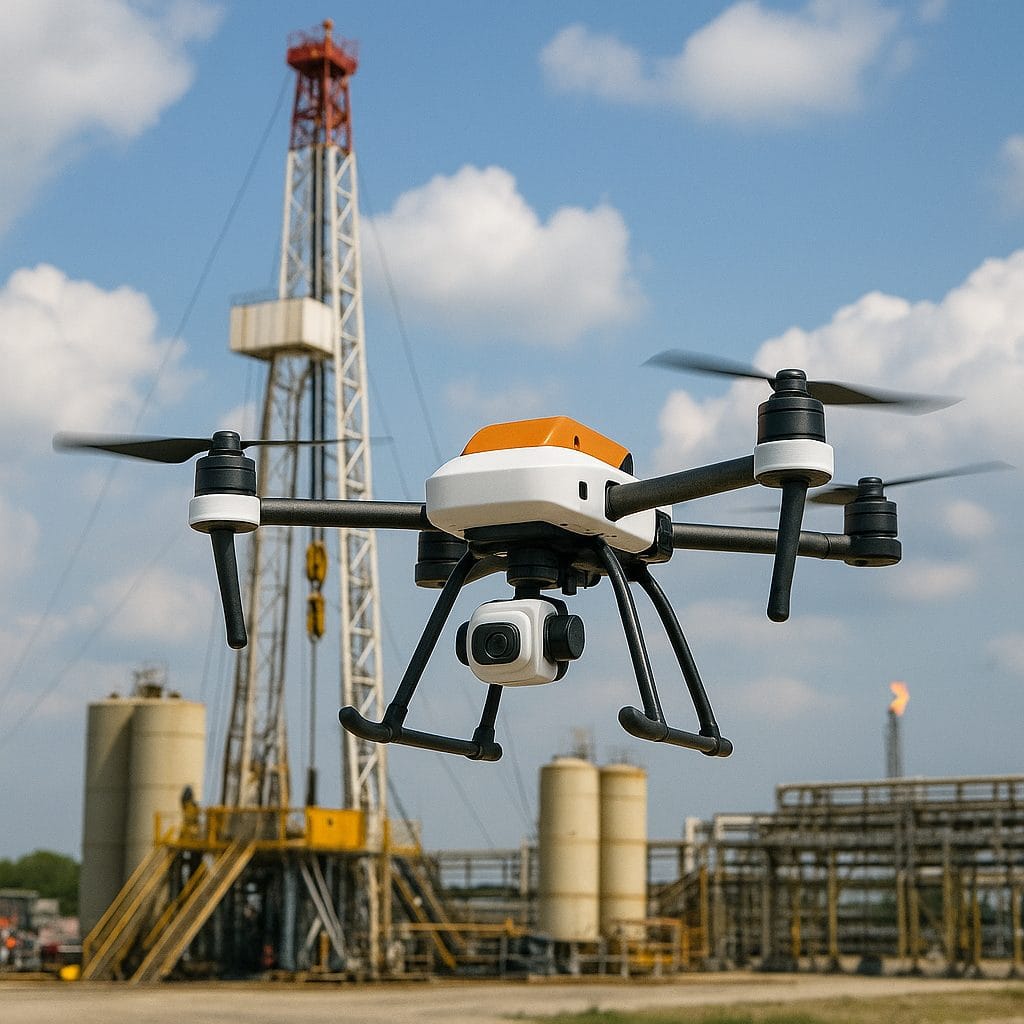
Oil & Gas Surveillance
Identifying leaks, monitoring pipelines, and ensuring compliance.
Industries
Multispectral Drone Services
GeoInfoTech offers a range of multispectral drone services tailored to meet industry-specific needs
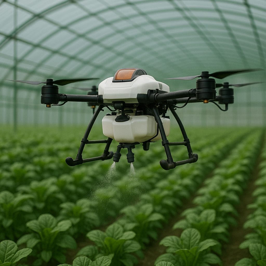
Precision Agriculture
- Assessing crop health using NDVI (Normalized Difference Vegetation Index) analysis.
- Detecting nutrient deficiencies and optimizing fertilizer application.
- Enhancing yield predictions through advanced spectral imaging
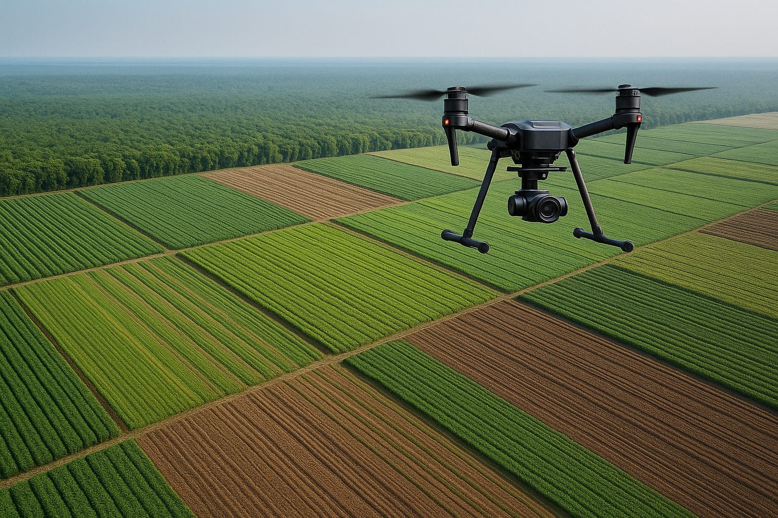
Environmental Monitoring
- Mapping vegetation cover and detecting changes in biodiversity.
- Analyzing soil erosion patterns and water body contamination.
- Supporting conservation efforts with high-resolution ecological data.
Infrastructure and Construction
- Conducting aerial inspections of bridges, roads, and buildings.
- Identifying structural weaknesses and material degradation.
- Providing 3D mapping for urban planning and development
Oil & Gas Industry Applications
- Detecting pipeline leaks and monitoring environmental impact.
- Conducting thermal imaging for equipment efficiency analysis.
- Ensuring regulatory compliance through detailed aerial surveys.
The Future of Multispectral Drone Services in Nigeria
As industries increasingly adopt data-driven approaches, multispectral drone technology will continue to play a vital role in optimizing operations. GeoInfoTech remains committed to innovation, providing advanced drone solutions that empower businesses across Nigeria.