404
Oops!, that page can’t be found.
There are other options that might interest you below
Oops!, that page can’t be found.
There are other options that might interest you below
Search Results
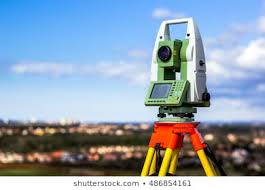
Geodesy in Geospatial world.
Geodesy is the Earth science of accurately measuring and understanding Earth's geometric shape, while a Geodesist or Geodetics Engineers, theirs is the science of measuring based on large trajectories. This field also incorporates studies of how these properties...
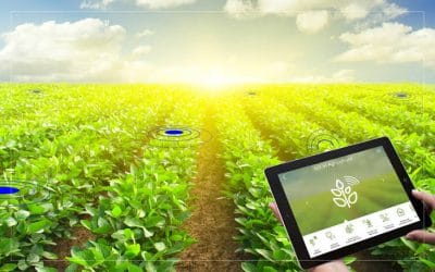
Application of GIS in Agriculture.
Application of Gis in agriculture has been playing an increasingly important role in crop production throughout the world. It has helped farmers in increasing production, reducing costs, and managing their land resources more efficiently. GIS in agriculture helps...

What it takes to build a Career in being GIS Analyst
GIS (Geographic Information Systems) Analyst work at the intersection of data analysis, programming and cartography. Their primary duties include analyzing spatial data through mapping software and designing digital maps with geographic data and various other...
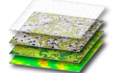
Introduction to Cartography Mapmaking
Introduction to Cartography Mapmaking Cartography or mapmaking is the study and practice of making maps. The traditional analogue methods of map-making have been replaced by digital systems capable of producing dynamic interactive maps that can be manipulated...

GISystem crawling into the Health Sector
GIS crawling into the Health sector is a powerful tool that has been successfully implemented to help address a number of significant health issues ranging from disease management to improved services. The increasing utilization of Geographic Information Systems (GIS)...

ESRI AND AFROCHAMPIONS LAUNCH PARTNERSHIP TO PROMOTE GIS IN AFRICA
Esri, the global leader in location intelligence, today announced a joint initiative with AfroChampions, a Pan-African nonprofit that aims to promote policies that foster private-public collaboration for Africa’s economic transformation. The goal of the initiative is...

The Future Benefit of GIS Technology
The Future Benefit of GIS Technology The future of GIS presents endless possibilities through innovative technology and approaches. The term geographic information systems (GIS) has come to mean, variously, an industry, a product, a technology, and a science. As a...
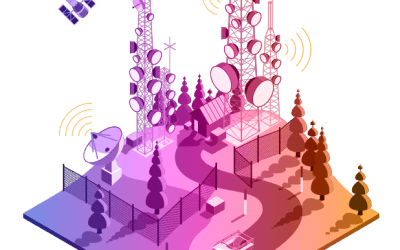
Connection between GIS and Telecommunication Network.
Telecommunications providers are tied to geography more closely than many other types of businesses which have led to the implementation of GIS solutions in their operations. The primary factors leading to the growth of the GIS industry in telecommunication are the...
GeoSpatial Technology in Spatial Crime Analysis
Geospatial Crime Technology The mapping and spatial analysis of crime covers a broad range of techniques and has been used to explore a variety of topics. In its most basic form, crime mapping is the use of a Geographic Information System (GIS) to visualize and...
CONTACT US