404
Oops!, that page can’t be found.
There are other options that might interest you below
Oops!, that page can’t be found.
There are other options that might interest you below
Search Results

Introduction to WebMapping.
Web mapping or online mapping is the process of using the maps delivered by geographic information systems (GIS) on the Internet, more specifically in the World Wide Web (www). Web GIS as a fully-fledged GIS that takes advantage of web technology for communicating...
GIS Software- Introduction to ArcGIS.
Introduction to ArcGIS ArcGIS is a geographic information system (GIS) for working with maps and geographic information maintained by the Environmental Systems Research Institute (Esri). Its purpose is used for creating and using maps, compiling geographic...

Drone Training
Drone Training Beginners Training Alert. Geoinfotech is offering a training programme for Drone Beginners... The training set to offer 2 weeks of the professional course on Drone PIioting for Beginners ( with 25% discount) to the general public who are in the...

Requirement necessary for building a path as a drone pilot
Building a Path as a Drone Pilot The primary duty of a drone pilot is to control and maintain an unmanned aerial vehicle (UAV)otherwise known as a drone. Their duties involve checking the drone to ensure it's operating properly before being deployed. To be a drone...
Experts urged to embrace GIS technology
Experts urged to embrace GIS technology. Experts have urged estate surveyors and valuers to embrace the Geographic Information System (GIS) for easy access to locations and features of properties. A professor of Geography at the Kampala International University,...

Akwa ibom Government takes Sustainable Agriculture to Hinterlands.
AkwaIbom Government Agric business As a follow-up on the recent training of agricbusiness operators under Agribusiness Enterprise Development Programme, AEDP, sponsored by the Akwa Ibom State government in collaboration with Elkanis and Partners, the state government...
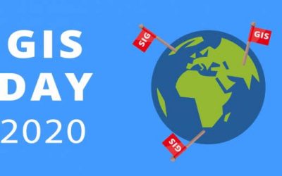
GIS Day 2020
GIS Day 2020 GIS Day: Initiating an innovative technology that merges disciplines, filters priorities, and initiates action. According to the calendar, there are days, weeks and months that signifies various interests and professions. March 3 is the World Wildlife...
Nigeria Takes Delivery of Chinese Drones to Combat Insurgency.
The aircraft's area of operation will cover several states including Zamfara, Sokoto, Kebbi, Kastina, and some parts of Kaduna state. Four Chinese-made Wing Loong II combat drones have reportedly arrived in Nigeria to take part in ongoing counter-insurgency and...

What GIS Technician is all about.
GIS technician is one of the career paths in GIS, GIS technician make maps and customize geographic information systems application, they manipulate data to serve a variety of purposes. They read and interpret maps, manipulate and understand digital land data, and...
CONTACT US