404
Oops!, that page can’t be found.
There are other options that might interest you below
Oops!, that page can’t be found.
There are other options that might interest you below
Search Results

Drones to be used in Coastguard operation for the first time
Drone Coastguard A drone is designed to take real-time surveillance was used to carry out safety patrols in the UK coastguard search rescue. In order to facilitate the regular and routine use of drones, by the Maritime and Coastguard Agency (MCA) to discharge its...
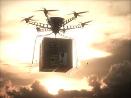
Drones are delivering COVID-19 tests to remote Scottish islands
Drones are delivering COVID-19 in Scotland As humans maintain social distancing, a drone can offer a safer friendly environment for delivering medical supplies. And as such, one of the innovative ideas, U.K Space Agency intend accomplishing is the use of a drone to...

Plane narrowly misses colliding with drones at Heathrow airport.
Plane misses colliding with drones The latest news surfaced aimed concern that drone near-misses are on the rise, significantly posing a threat to recreational and commercial planes. An Airbus A320 plane pilot on the approach to Heathrow in October last year narrowly...
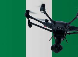
Drone Permits and License in Nigeria.
Introduction Drones are widely known as gadgets of leisure that are sent to the sky to capture impressive aerial photographs and high-definition video. Drones are also regarded as remote-controlled aircraft with no human pilot on-board. These have a huge potential in...

WHAT TO KNOW ABOUT DRONE BUSINESS IN NIGERIA
Introduction Drone use has become versatile and hence its growing use for many activities such as to cover inspection, thermal and multispectral applications. Drones for business saves time decreases danger, permits data collection without disrupting regular work....

DRONE IN NIGERIA CONSTRUCTION.
INTRODUCTION Construction and Infrastructure industries make use of the drone for numerous reasons but specifically used to capture real-time images from the field. The introduction of drone technology in construction and infrastructure industries has helped eliminate...

Land survey practice in Nigeria
What is Land survey Land Surveying is a technique used to make accurate measurements in determining both man-made and natural features, positions of points, the distances and angles between property boundaries accurately. Land Surveying and Geoinformatics was...
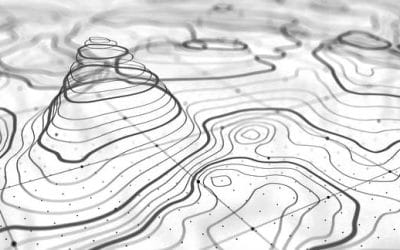
Geographic Information System-Topography Map
What is Topography? Topography is the study of the forms and features of land surfaces. The topography of an area could refer to the surface forms and features themselves, or a description. It is the arrangement of the natural and artificial physical features of an...

Esri launches ArcGIS platform
Esri launches ArcGIS platform Esri’s a location vendor, announces its launch of ArcGIS, a Geospatial platform as a service (PaaS) which provides market-leading maps and location as a form of service to developers in order to visualize, edit, and analyze authoritative...
CONTACT US